I'm in the Solomon Islands at last!
Still needing to confine myself to the ship so that I can give my ankle time to heal.
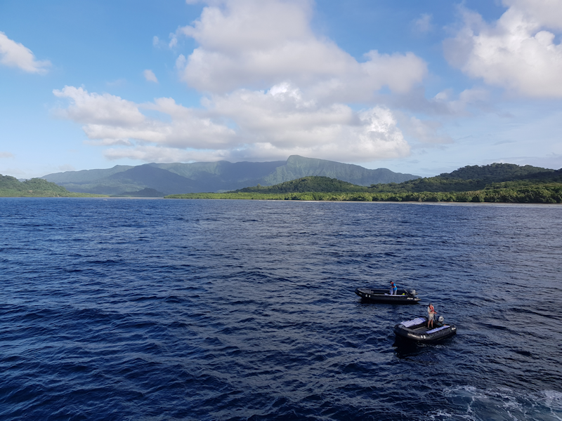
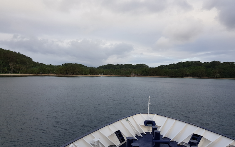
We anchor off Vanikoro Island, the southernmost of the three largest Santa Cruz islands.
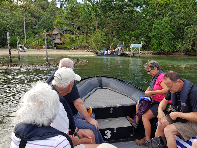
At 7:45 in the morning there is already activity at the stern, with boatloads of passengers heading off to visit the island.

The population of Vanikoro is about 1300, of which about 800 are Melanesian and 500 Polynesian, the latter have their origins on the remote Tikopia island.


There was always interest in the bird life on this trip, so binoculars were always in use.


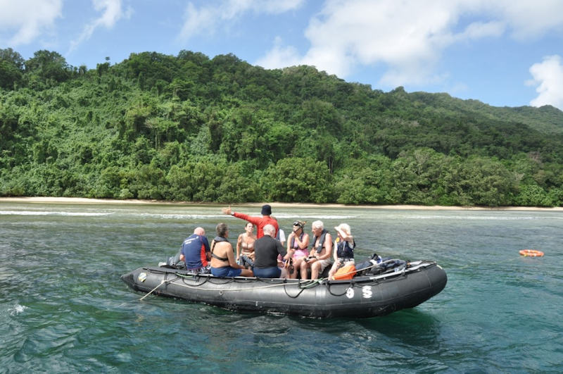


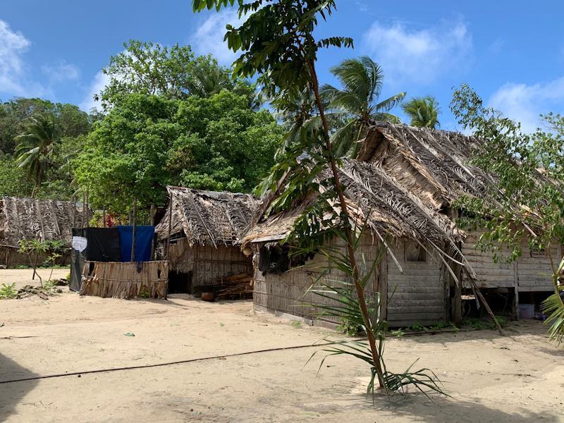
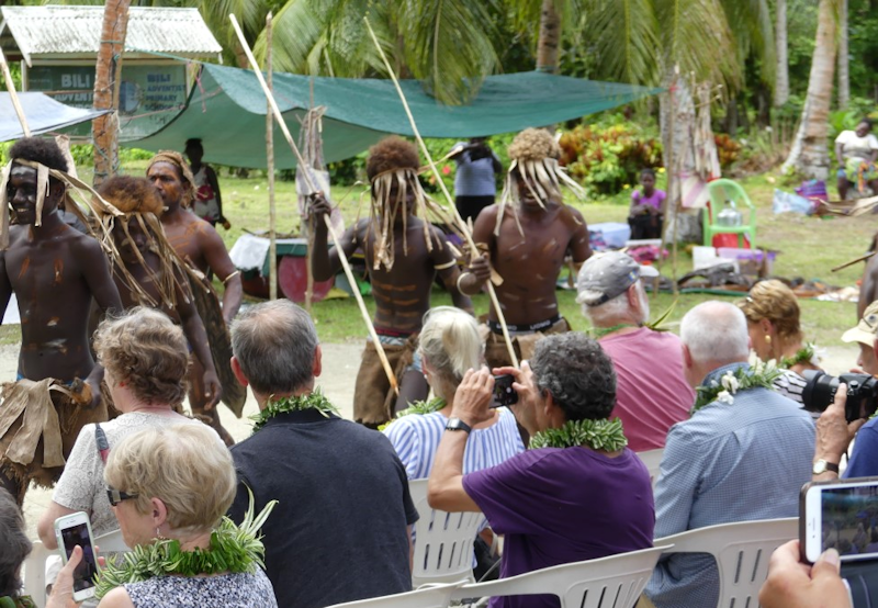
Visit to Santa Ana Island in Makira-Ulawa Province.
This time I went ashore - my wound was healing somewhat and I didn't want to miss the Solomon Islands stop-overs given that this was my first return to these isles in over 40 years.
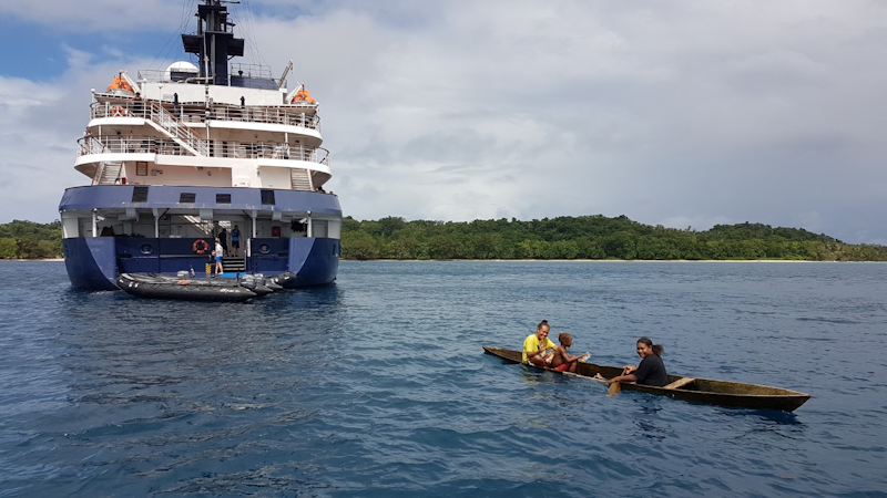
My mobile phone was out of action on this day due to moisture in the internals, so I needed to borrow photos from fellow passengers.
In this picture, local women arrive to greet the ship as it anchors offshore.


Interestingly, there is a large minority islanders of Polynesian-descent living in villages to the south of the island.
The two populations have different cultures and languages and don't mix, despite their island being only around 3 miles square.

Bamboo pipes are hit with instruments resembling leather soles, and at least one chap plays pan-pipes.
This style of traditional music is typical of the Solomons.


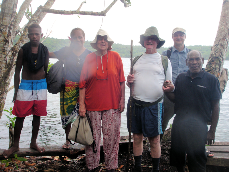
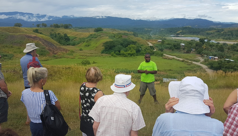
I did the option to walk through the jungle from the village to the edge of this lake, led by a local man and retired English teacher, Stewart.

Local villagers told me that there was a single crocodile resident in the lake, though it hadn't been seen for a long time and children were told not to swim in it!

Most of the guests chose to do the longer walk up to the school and then on to this house.
Many families have four or more kids and birth control doesn't seem to be important in these communities.
Why do many of the kids have blond hair?
People living closer to the equator usually have darker skin and hair colour to protect against the Sun.
The exception to this is found in the Solomon Islands, which has the highest proportion of natural blonds outside of Europe despite being just south of the equator.
Although the indigenous Melanesian population possess the darkest skin outside of Africa, between 5 and 10 percent also have blond hair.
Researchers from Bristol University have now identified the single genetic mutation that causes the islanders to have such contrasting pigmentation of their skin and hair.


This visit is my most important of the trip, a return to this place which still I remember fondly from 1968 - 78.
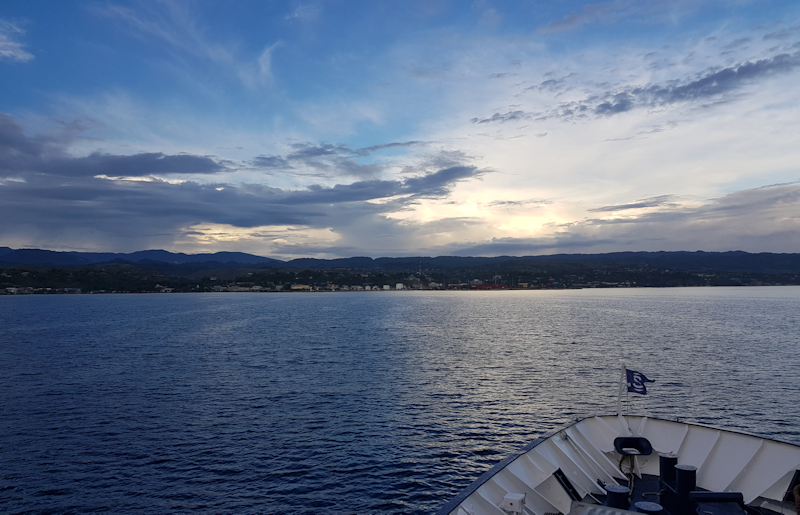
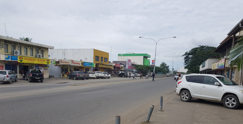
A day back in Honiara after over 40 years.
Today was the day I'd been most looking forward to - at around 7 am we approach the main wharf at Point Cruz.
I'd been awake for a while, watching the northern shoreline of Guadalcanal, one thing I noticed was that there were many more ships at anchor near Point Cruz than there used to be back in the day; it looked like there were some trawlers and factory ships and two freighters.
The oil storage tanks were still there, and there were stacks of shipping containers in the port area where there were none in the 1970's.
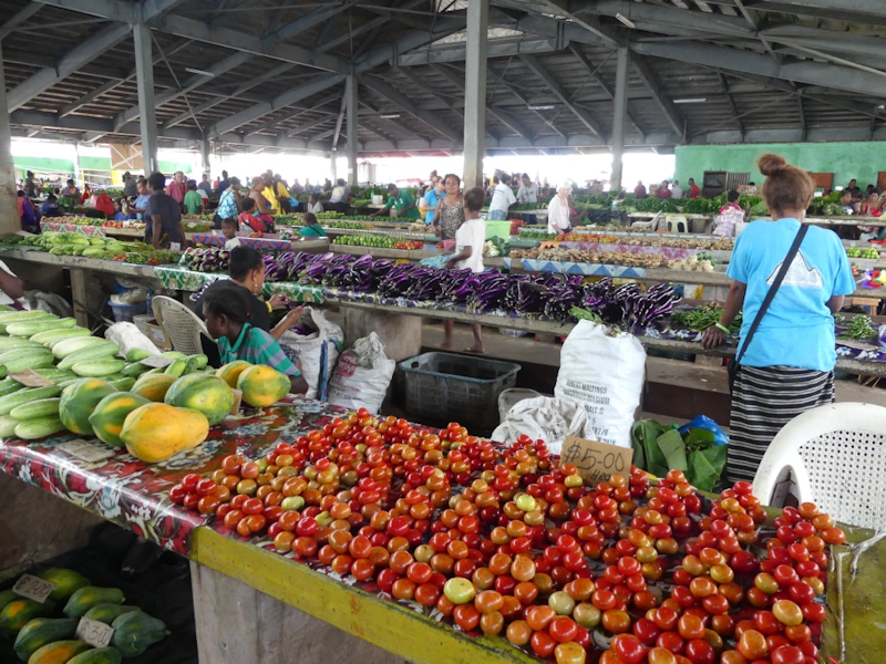
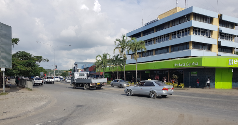
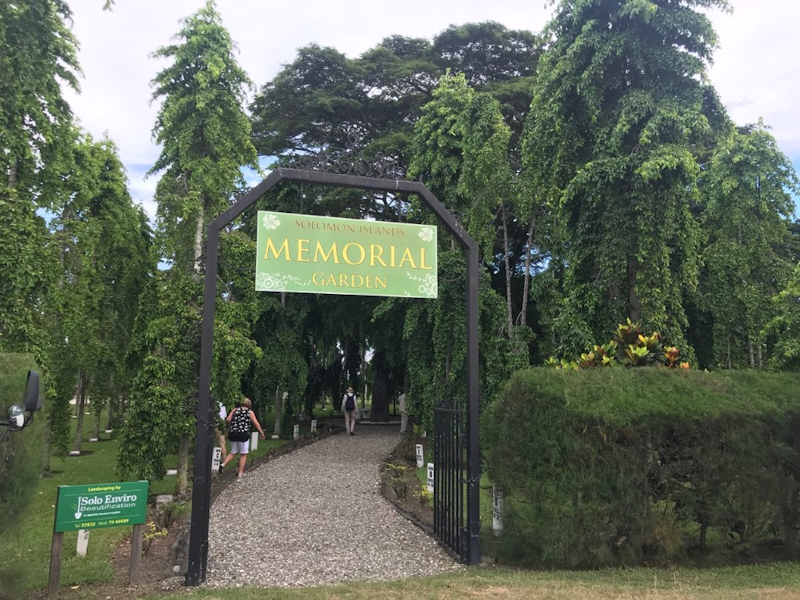
There were two options for excursions - either a trip to see the war memorial gardens and Bloody Ridge or a tour of the town, taking in the market, eastern suburbs, including Kukum and Kolaa Ridge and visits to the new Parliament building, museum and town centre.
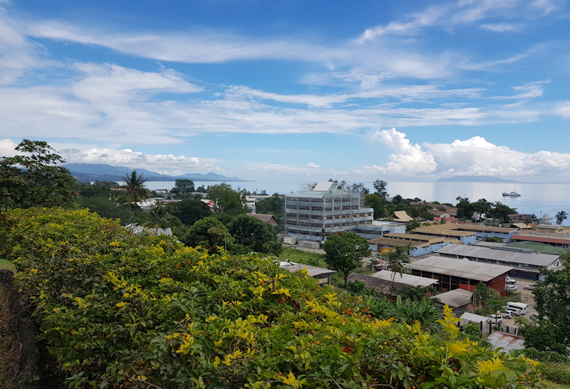
It had always been my intention to try and find places where we lived as a family between 1968 and 1978, so I chose the town tour.

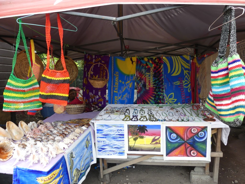
As well as fruit and vegetables, there were packaged foods, clothing, handicrafts and jewelery...

It is somewhere in the general area of Kolaa Ridge, in the foothills behind Honiara.
In the old days there would have been expat houses here, now the local people live here, though not in the more up-market residences enjoyed by that expat community.
Nearby, our minibus came to a crossroads, which, with help from Dave, our guide, I identified as the nearest road to where our last house was, at the top of Kolaa Ridge Road!
I was so pleased to spot this, mission accomplished, though where our house had been in 1978, there was now a church and a couple of small wooden houses.

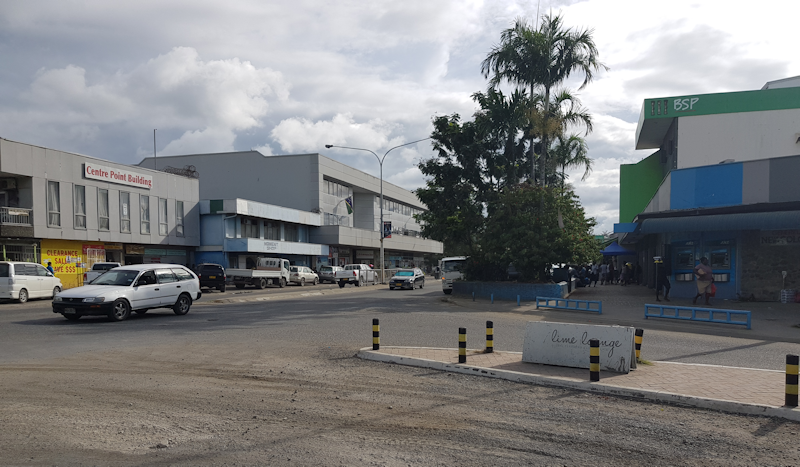
Back in 2006 there were riots in the old Chinatown caused by resentment by the Melanesians against the long-established Chinese community who still dominate the local trades and businesses.
On that occasion many stores and businesses were burned down.

Ironically, the construction was undertaken by a Japanese company.
We stopped at the site, pleasantly located on a hillside overlooking the centre of Honiara, but we were not able to enter the building as the parliament was in session.

There are 50 MPs representing (as at February 2018) eight political parties, with 19 independents.


I bought some gifts there, plus a couple of fridge magnets (which were NOT plastic and NOT made in China).


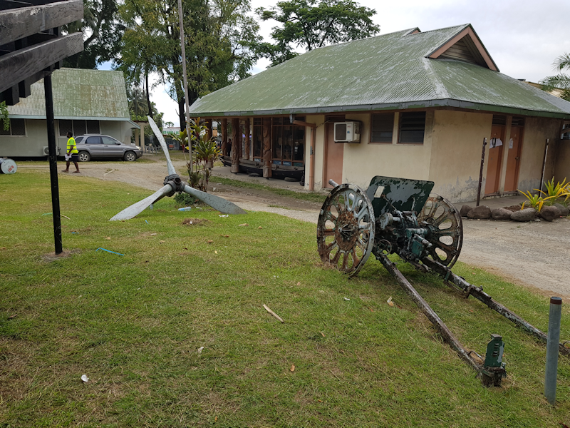
Situated on Skyline Drive upon a hill above the west side of the Mataniko River, close to Honiara.
Marble plaques are inscribed with details of five major battles fought in the Solomons Campaign and the names of ships that were lost during naval engagements with the Imperial Japanese Forces.
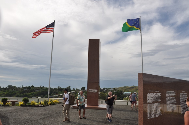

The Battle of Edson's Ridge, (aka Bloody Ridge) was between the Imperial Japanese Army and U.S. Marine Corps units.
It took place from 12th to 14th Sept. 1942, the 2nd of three major Japanese ground offensives during the Guadalcanal Campaign. In the battle, USMC under the command of Major General Alexander Vandegrift, repulsed an attack by the Japanese 35th Infantry Brigade, under the command of Major General Kiyotake Kawaguchi.
The Marines were defending the Lunga perimeter guarding Henderson Field, captured from the Japanese by the Allies in landings on Guadalcanal on 7 August 1942.
Kawaguchi's unit was sent to Guadalcanal with the task of recapturing the airfield and driving the Allied forces from the island.
Underestimating the strength of Allied forces on Guadalcanal (about 12,000), Kawaguchi's 6,000 soldiers conducted several nighttime frontal assaults on the U.S. defenses.
The main assault was around Lunga ridge south of Henderson Field, manned by troops from several USMC units, mainly the 1st Raider and 1st Parachute Battalions under USMC Lt. Col. Merritt A. Edson.
Although the Marine defences were almost overrun, Kawaguchi's attack was ultimately defeated, with heavy losses for the Japanese.
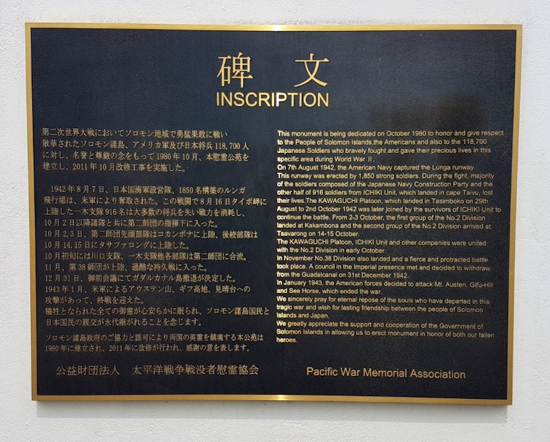
The Japanese suffered huge losses of men, aircraft and ships during the campaign in the Solomon Islands as the battles which raged in this area were to turn the tide of the Pacific war decisively in favour of the Americans and their Allies.
Note the enlarged panel at the top right which shows a sign on the dockside no doubt aimed at local workers - "No smoking, no betel-nut".


Tetepare Island.
This island, in the Western Province, is the largest uninhabited island in the Southern Hemisphere.
Uninhabited for 150 years, Tetepare was abandoned for reasons which remain a mystery, though a fear of head hunters raiding the island may have been the main reason.
Rejecting logging offers, the traditional landowners, now mostly residing on nearby Rendova Island, united to save the pristine wilderness for themselves.
They set up an organistion called Tetepare Descendents' Association (TDA) and this today manages and protects the resources of the island as a conservation area.
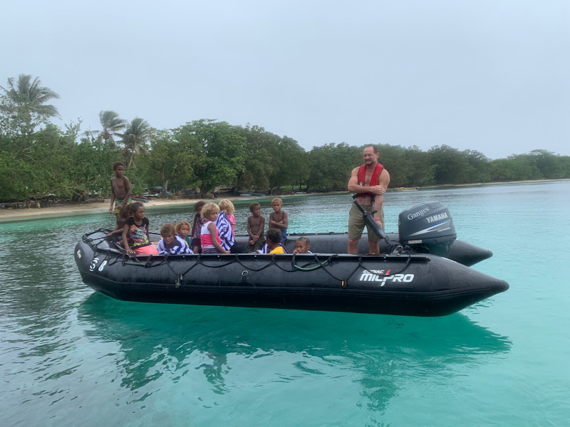
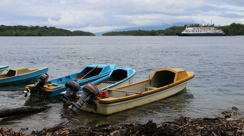
Here we are arrive at the island in our Zodiac.
Here it has moved down to the edge of the water.
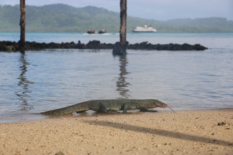
They are ferocious and prehistoric looking creatures which can easily snap off a finger if it wants to defend itself.

Our guide took a machete with him and demonstrated how some of the plants and trees are used purposefully.
For example - making ropes and twine or materials for house building.


Zodiacs with passengers would follow a boat which had three crew, local men, who sped around seeking out individual Green Turtles, which breed in the area.
When one was found, one of the men would dive into the sea and grab the animal and it would be lifted into their boat.
Then a turtle would be transferred into a Zodiac and taken back to the beach to be tagged (if not already so), weighed and measured, before being released back to the sea.

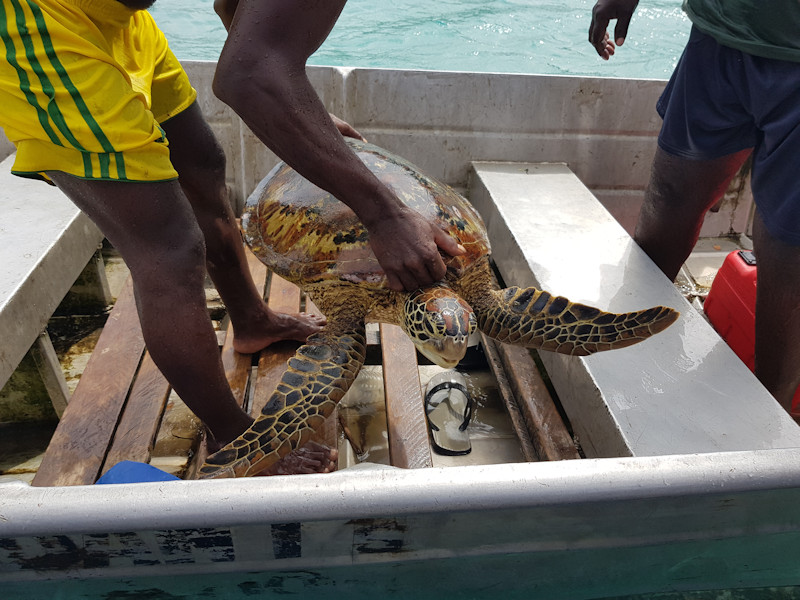

One of them was already tagged, but the other two weren't so a tag was put on the rear of the front left flipper so that individual creatures can be monitored as to their location, weight and size gain and breeding record.

(I'm not sure what it could be mumbling to itself, possibly "flipping heck, that's twice this week, I'm going to write to my MP!)"


I decided not to risk my ankle with the planned afternoon swim or snorkel.

Here are the different notes they use.
I'd brought along a few Solomons one dollar coins that my dad brought back to England in 1978, but they were no longer legal tender.

I came back and paid him, then I did a walk along the shore led by Guy, one of the Zodiac drivers.

Marovo Lagoon - the world's finest double barrier enclosed lagoon, bordered by the large islands of New Georgia and Vangunu on one side and a double line of long barrier islands on the other.
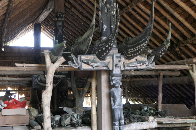
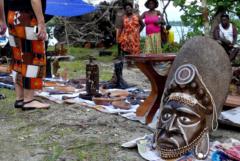
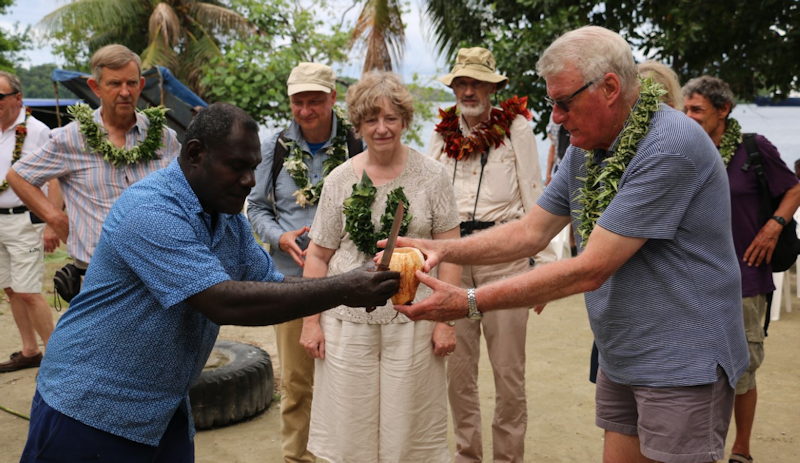
The final stop in the Solomon Islands is the island of Minjanga at the southern end of Marovo Lagoon, with a visit to the village of Mbili.
This village is home to some incredibly talented wood carvers, as will be demonstrated in several photos of their work which follow.


Absolutely amazing.


This shot is looking to the west with Vangunu island in the far distance.

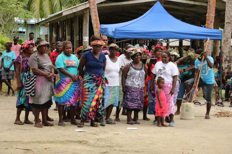
I'm standing behind with my frangipani garland - local children gave one of these to all of us as we were seated before the ceremony, it was a lovely gesture.

I had almost spent my SI dollars, otherwise I may have been tempted to buy something else here.
I saw no point in keeping my remaining Solomons currency, so I put my last fifty-odd dollars in a donation box for the local school.

Again, I stayed on board though my ankle injury was healing and I intended to have a swim at my next opportunity.

We had to travel nearly 500 natical miles, so the next day would be a full day at sea.

During the day we had a variety of lectures and briefings, starting with another excellent PowerPoint presentation and lecture by Rear Admiral John Lippiett entitled:
"Imperial Powers fight for domination of the Pacific"

to reflect, have a coffee,
read a book in the on-board library,
sort out some clothes to be washed,
and eat!
