West from Seward, Alaska, a day at sea.
Day 2 : Fri 7th August.
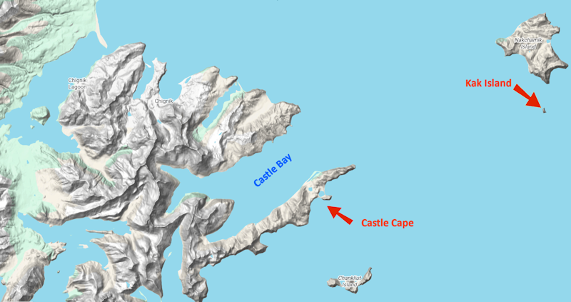
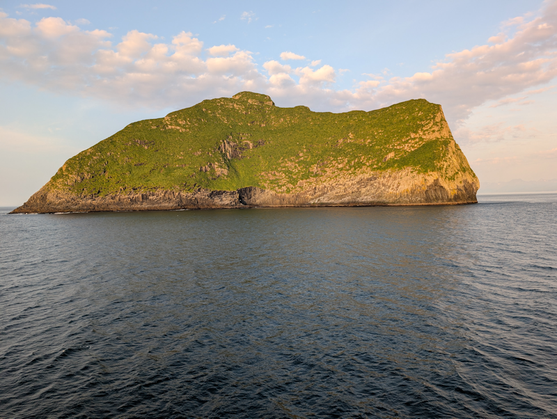
Today we had two onboard mini-cruises, the first around a tiny rocky island called Kak Island.
Later we sailed right in to the spectacular Castle Bay, with the majestic rock-scape of Castle Cape providing more camera fodder.
|
 |
Kak Island, a rock in the Gulf of Alaska, and home to fur seals and cormorants.
The ship did a slow sail-around for the benefit of photographers.
The island is composed of classic hexagonal basaltic columns.
|
 |
|
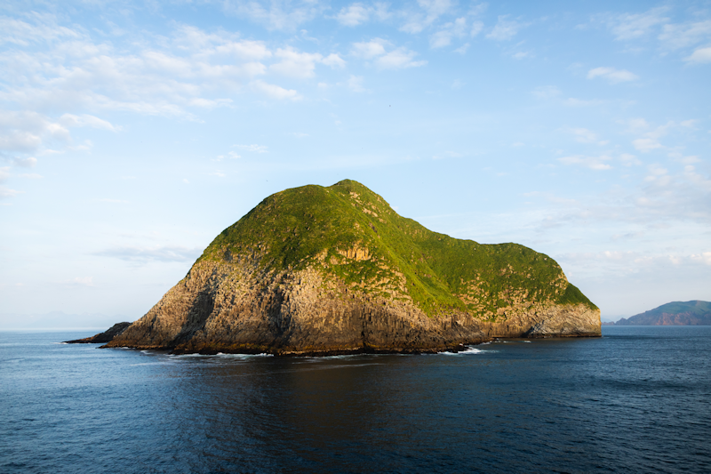
Kak Island, from a different direction.
|
 |
|
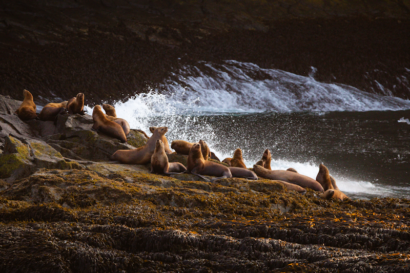
A herd of fur seals living on the low lying rock shelf around the rim of the island.
|
 |
|
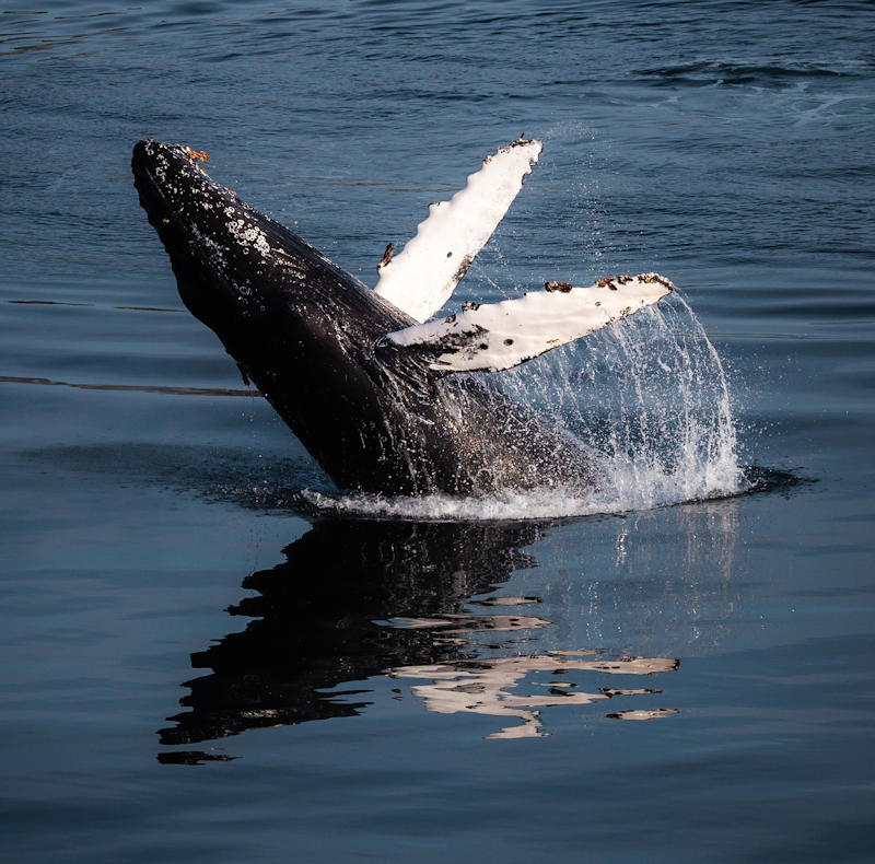
This young male Humpback whale was observed energetically leaping up and slapping its pectoral fins in the waters near Castle Bay.
|
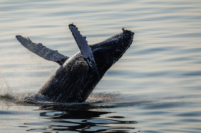 |
The whale shows off its white, barnacle encrusted fins, this photo was taken by the ship's photographer.
With only a mobile phone to take pictures with, I wasn't able to compete with her professional work.
|
 |
|
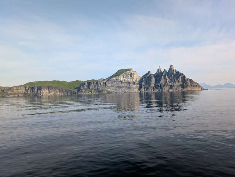
Castle Cape, which rises to over 1000 metres with its impressive rock formations.
|
 |
|
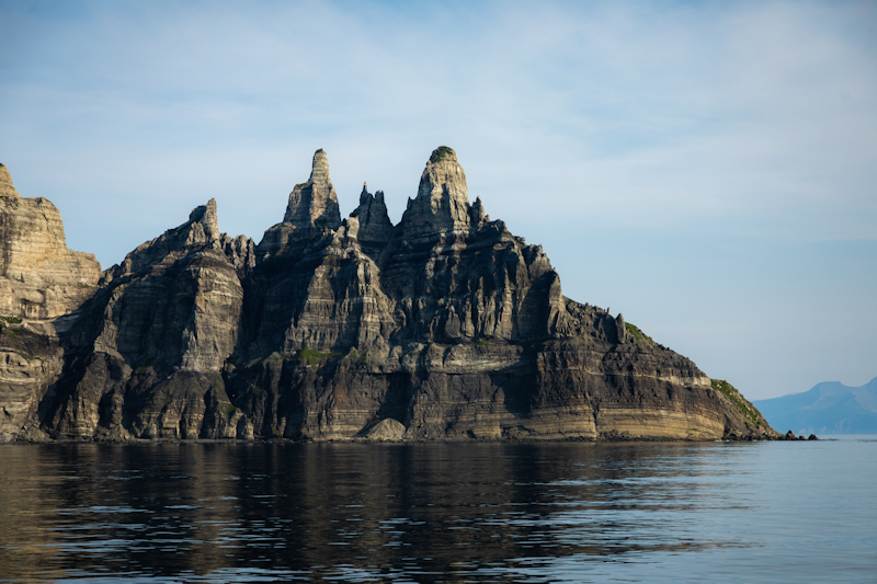
Tuliumnit Point marks the easternmost tip of Castle Cape.
|
 |
|
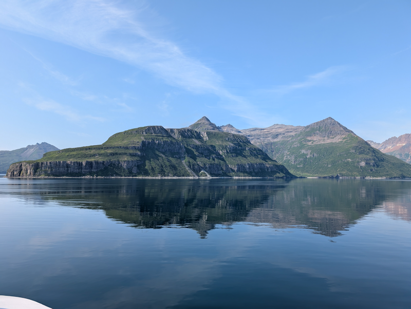
The captain takes us slowly west into Castle Bay.
|
 |
|
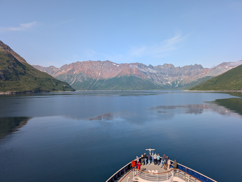
Perfect weather as we sail further into this large sheltered bay, which forms part of the ragged but beautiful Alaska Peninsular.
|
 |
Chignik, Alaska.
Day 3 : Sat 8th August.
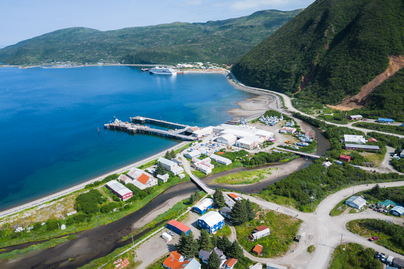
Chignik is a settlement about 8 miles to the northwest of Castle Bay.
This view was shot by the ship's drone.
The ship berthed at a pier and there were walks to either the airport or a nearby lake.
|
 |
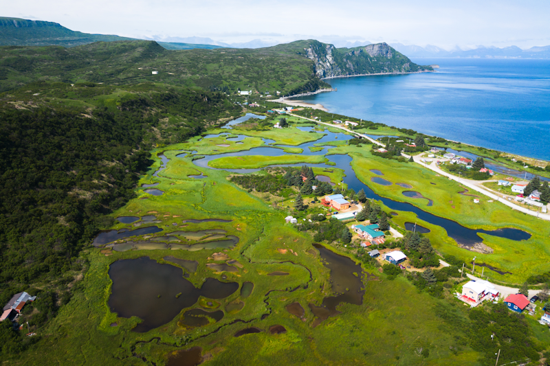
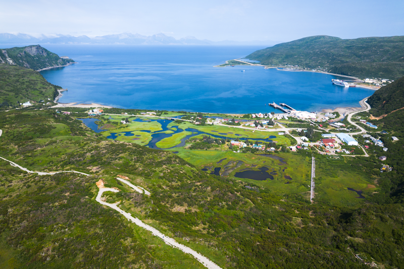
This is another drone shot of Anchorage Bay, looking north.
|
 |
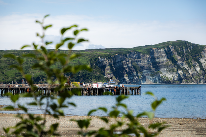
The long piers of the main harbour.
|
 |
|
A nice shot of Anchorage Bay, Chignik.
|
 |
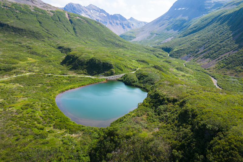
This was Indian Lake Lower, where we stopped and then turned back.
It wasn't a particularly pretty walk, but an opportunity to get some exercise on dry land.
|
 |
|
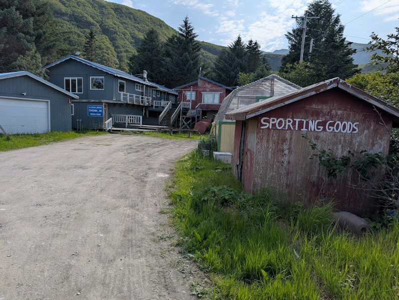
The post office and shop which we passed near the centre of the town.
|
 |
Sand Point, Alaska.
Day 4 : Sun 9th August.
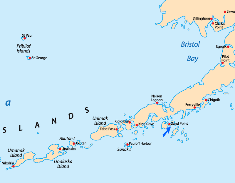
Sand Point is an important fishing centre situated on the northern shore of Popof Island, just off the Alaska Peninsula.
We anchored offshore here and there was an organised long walk to a beach, which I participated in.
|
 |
|
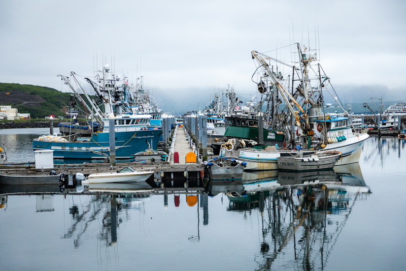
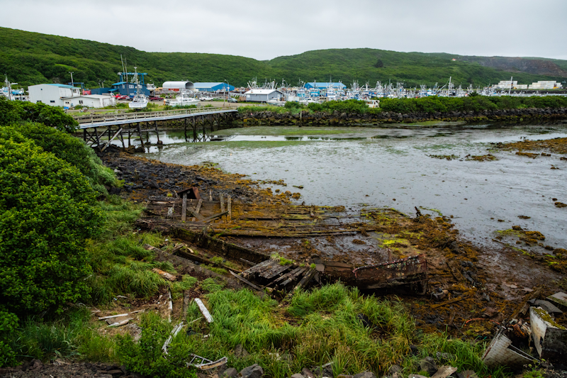
The busy port supporting a large fishing fleet and boat repair yards.
|
 |
|
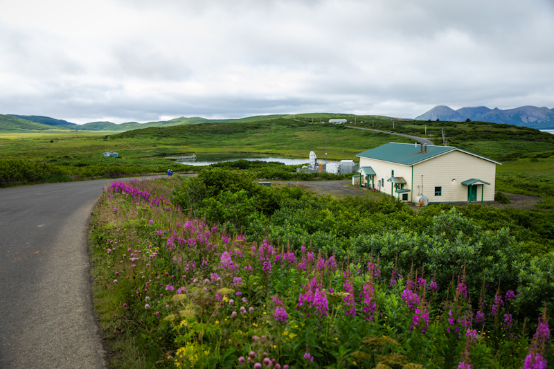
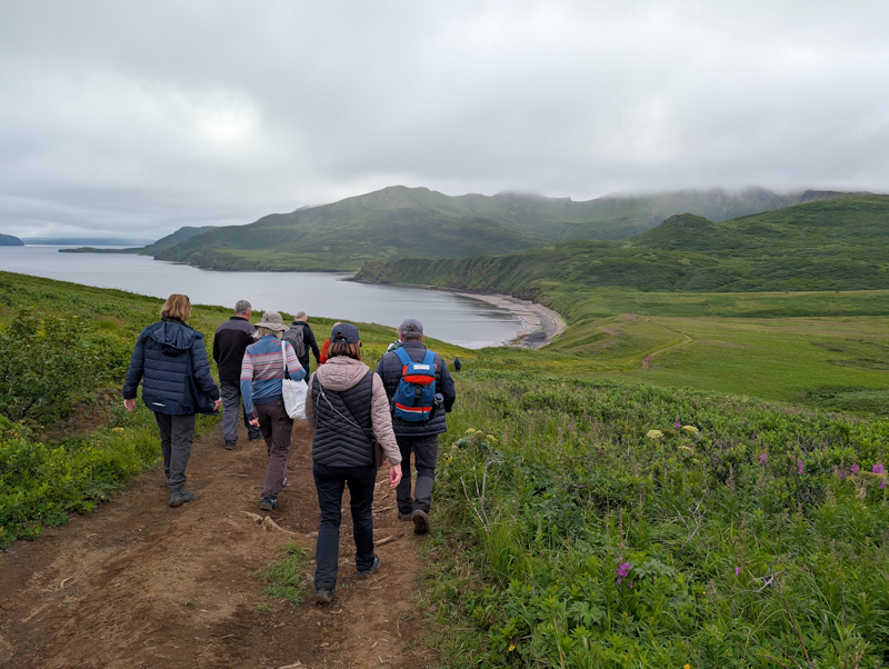
Beginning our walk to the beach, known for its petrified wood fossils.
|
 |
|
There were probably fifty or so passengers who chose to do the walk of about 8 miles.
|
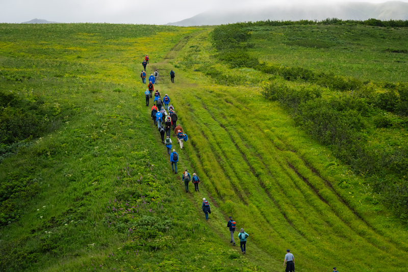 |
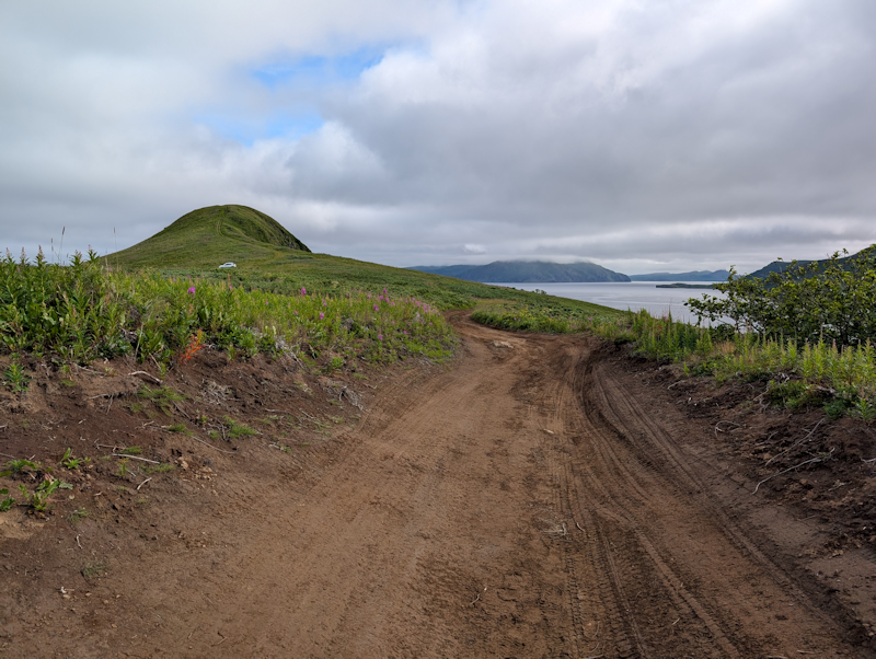
One of my photos.
It was good to have a decent walk on land given the long duration of the voyage at sea.
|
 |
|
Heading down towards the beach.
|
 |
|
After the return from the beach we're back at the port.
|
 |
|
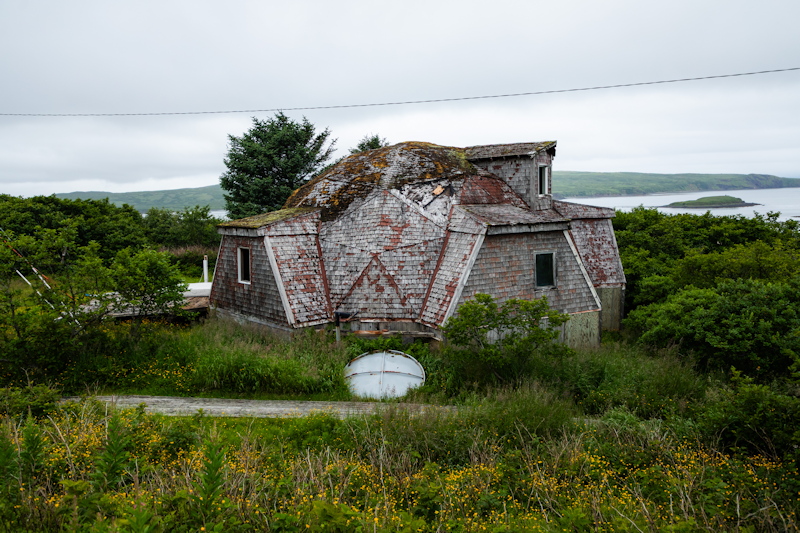
An abandoned, strange looking dwelling near Sand Point.
|
 |
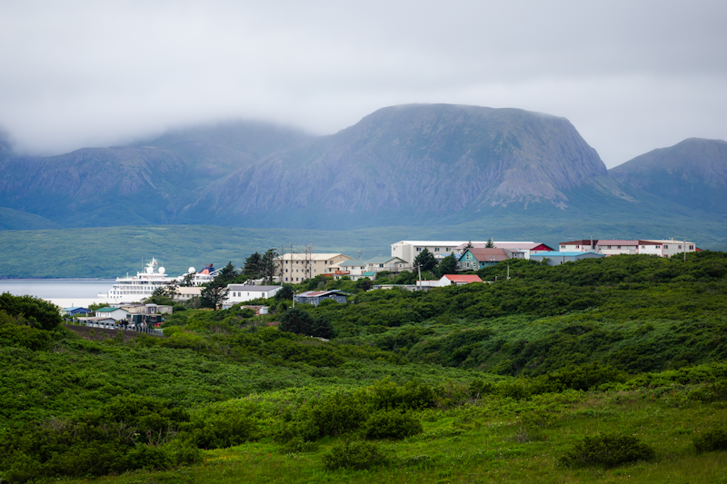
A view over part of the town, with the 'Hanseatic Inspiration' at anchor to the left.
Sand Point has a steadily growing population of over a thousand, with transient workers coming in during the summer for the salmon season.
About half the population is of indigenous Aleut descent.
|
 |
Dutch Harbor, Alaska.
Day 5 : Mon 10th August.
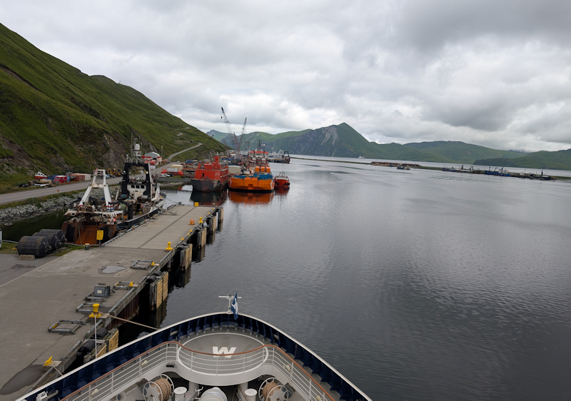
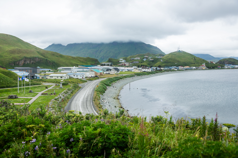
We are docked at Dutch Harbor on Amaknak Island.
The alternative name of the town is Unalaska, and the town is built on two islands, Amaknak and Unalaska.
The town was bombed by the Japanese in June 1942.
It is known for its large fishing fleet, with Alaska Pollock, Cod and King Crab its major catches.
Today's activity was a walk past the airport to the town, with a couple of beers on the way back to the ship.
|
 |
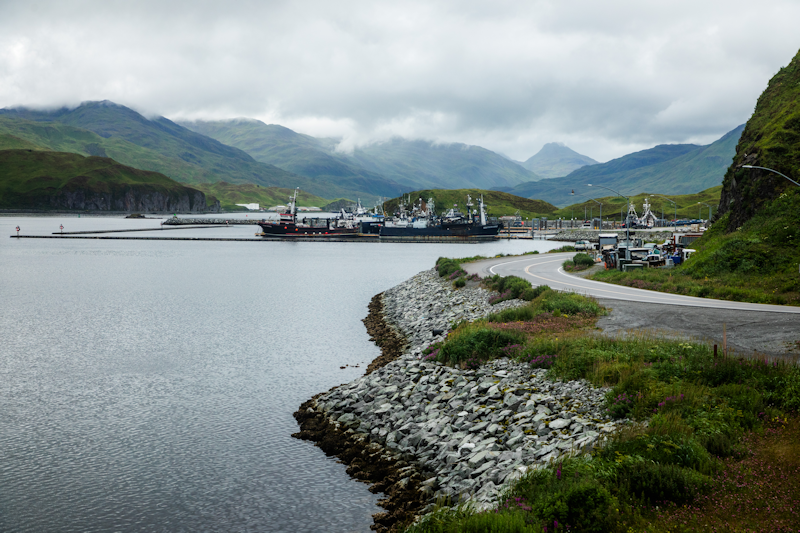
Leaving the port and heading towards the museum and shops.
|
 |
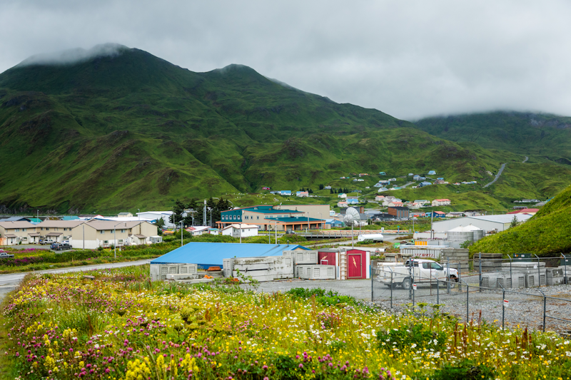
Another part of town, though not part of my route.
|
 |
There was a shuttle bus which went to the Russian Orthodox Church, not my cup of tea.
|
 |
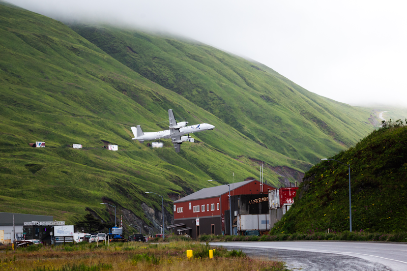
Between the port and the town is the airport, with the short runway making it not the easiest airport in Alaska to fly from.
|
 |
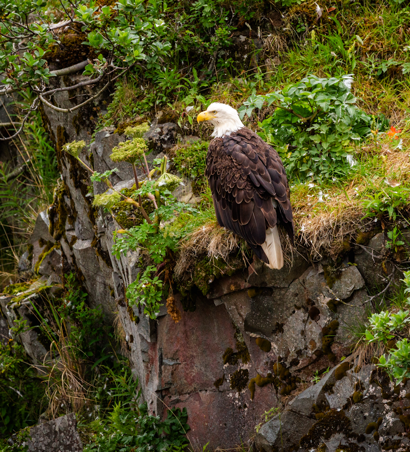
There were quite a few bald eagles seen in the town.
They were often seen sitting up on the top of lampposts.
|
 |
|
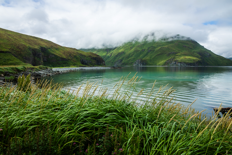
Many of the photos on this webpage are courtesy of the ship's official photographer, who obviously knew her trade and came up with many stunning photographs.
|
 |
|
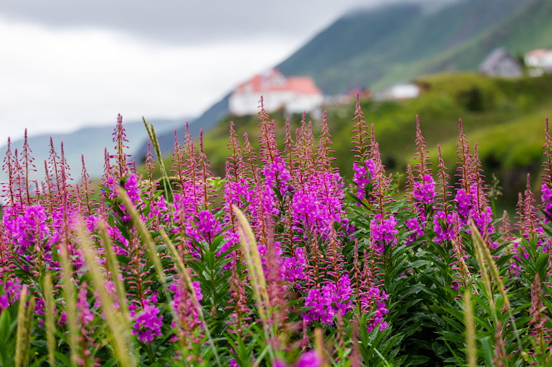
Fireweed is found all over in this part of the world.
|
 |
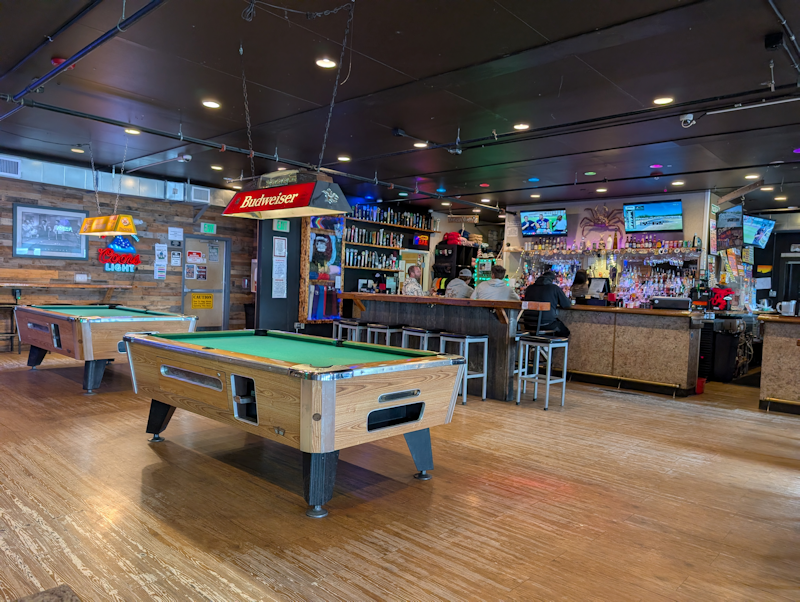
The highlight of the day was a trip to the Norwegian Rat Saloon,housed in a building that looked like a small warehouse.
|
 |
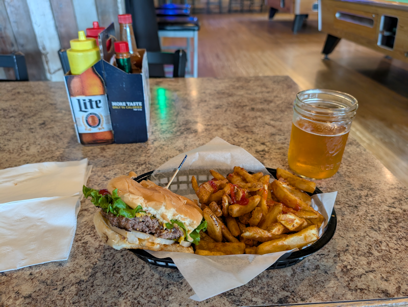
I had a burger meal washed down by two jam jars of IPA.
The beer measures are typically 12 fluid ounces or 355ml.
The beers were very good, convincing me that the Americans can come up with some decent ales as an alternative to the bland Budweiser.
|
 |
St Paul Island, Alaska.
Day 6 : Tues 11th August.
St. Paul Island is one of the five Pribilof Islands.
It has a population of about 450 and is part of the Aleutian Islands chain.
In the late 18th century it was a centre for trading fur pelts from the unfortunate Fur Seals.
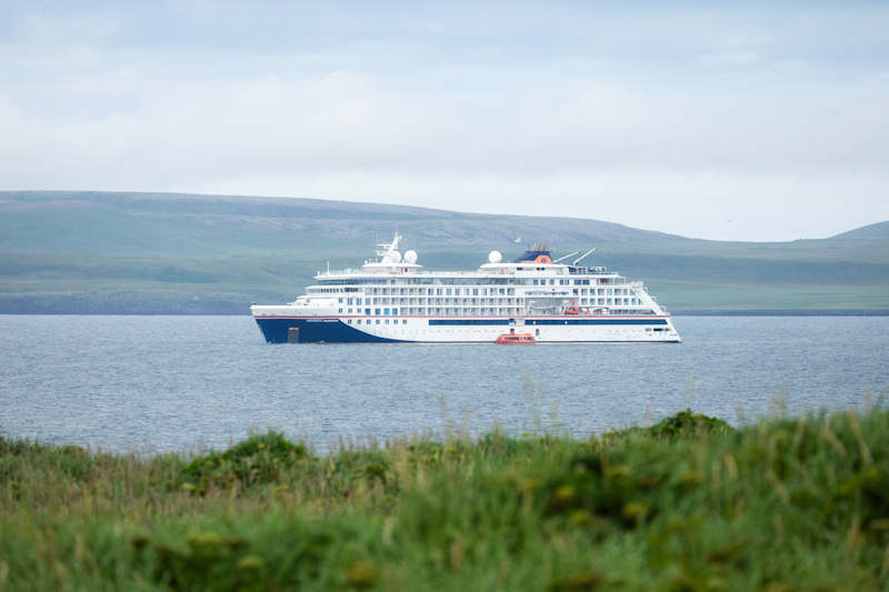
Here we are at anchor in the early afternoon and make a landing by tender.
I will remember our visit here for the wrong reasons, which included a desperate search for a toilet.
|
 |
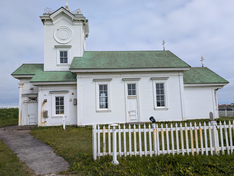
The Russian Orthodox Church at the top of the hill within the small town.
|
 |
|
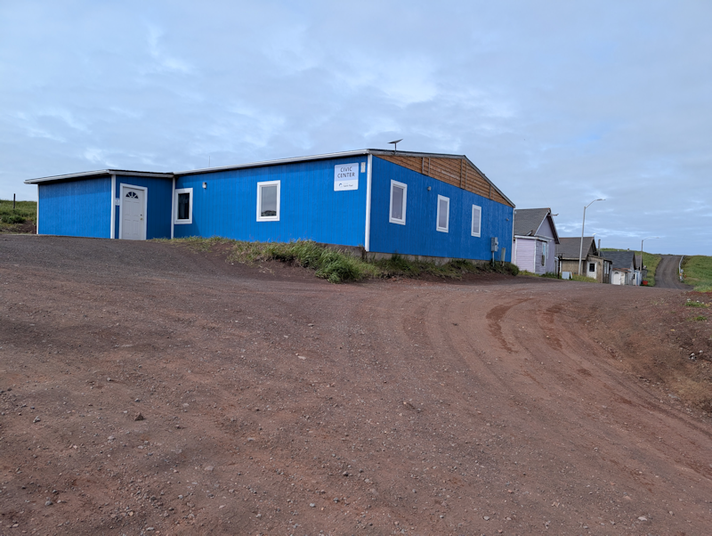
The Civic Centre.
|
 |
|
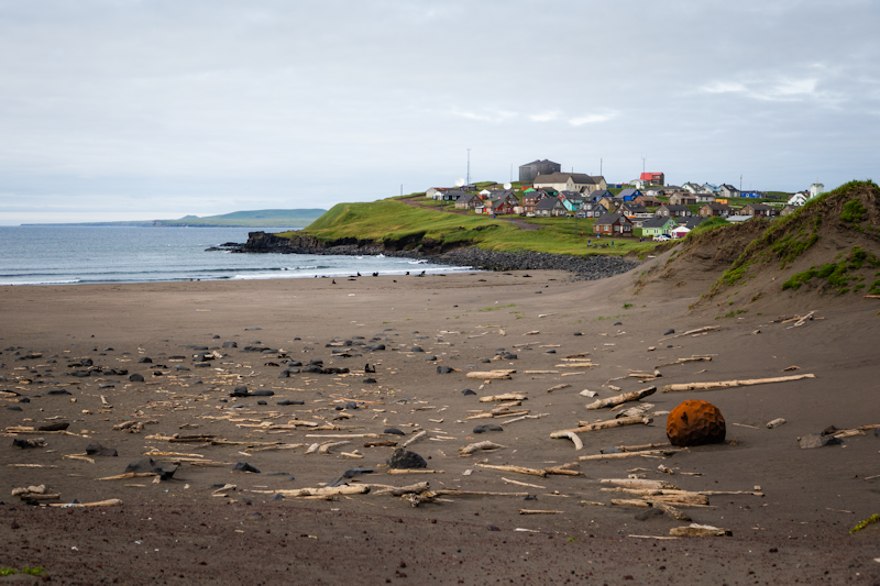
Debris and a rusty buoy on a beach near the tow.
|
 |
|
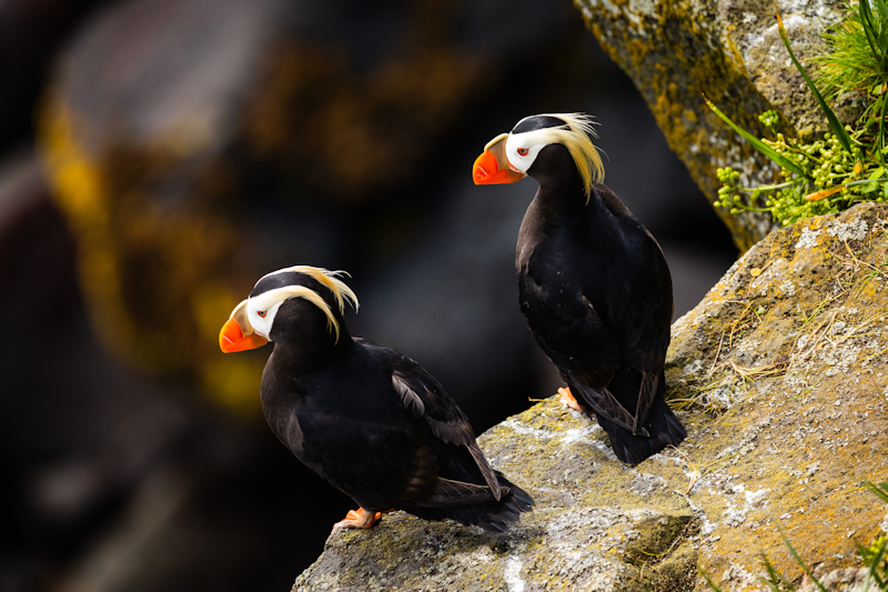
A pair of puffins nesting on the cliffs.
|
 |
|
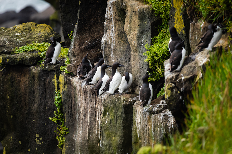
Some common guillemots.
|
 |
|
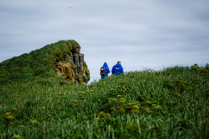
Passengers in the distinctive blue parkas which were provided to all for the cruise.
|
 |
|
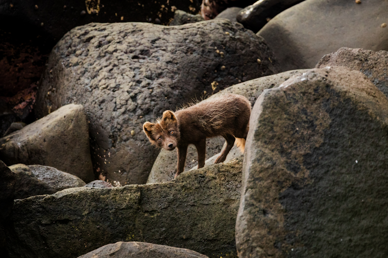
An arctic fox among the boulders on the shoreline.
|
 |
|
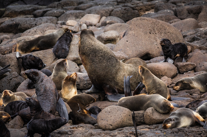
Fur seals, now a protected species, are thriving on the island, and there are viewing platforms to observe them from a distance.
|
 |
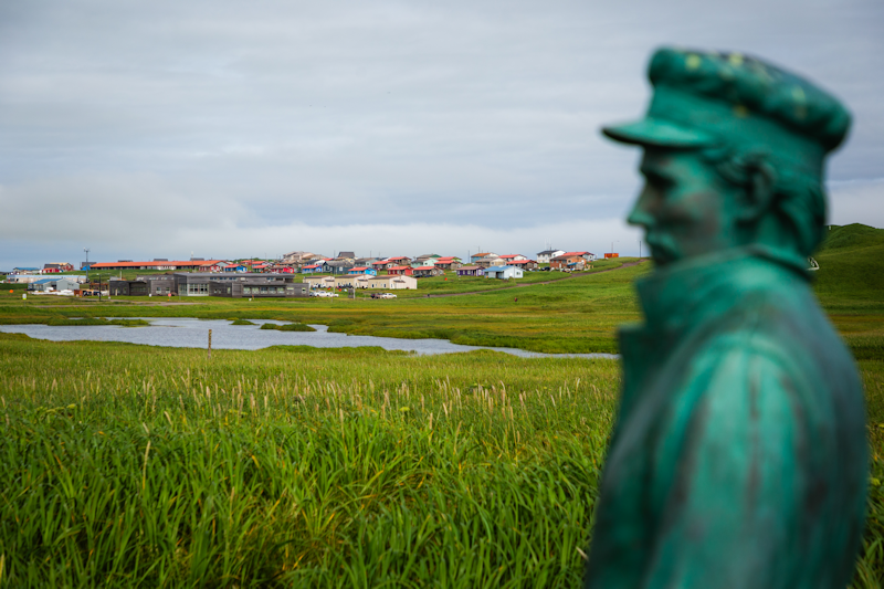
A sculpture of a sealer and several of his victims is set on grassland just below the town.
The indigenous Aleuts were used as slaves by the Russians to kill and skin seals in the bad old days.
Nowadays the inhabitants of the two largest islands, St Paul and St George are predominantly Aleuts.
|
 |
|
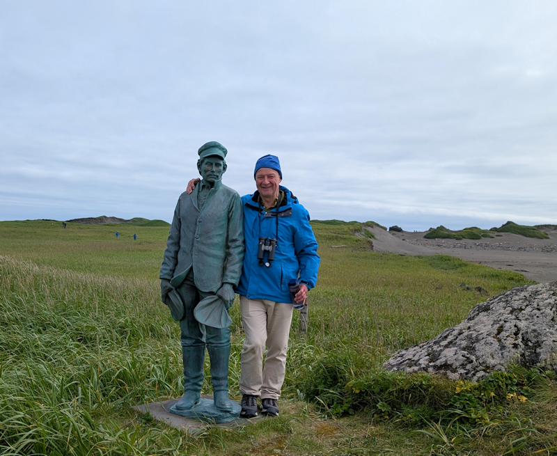
Being photographed next to a statue of a sealer does not imply that I approve of his activities in past centuries!
|
 |
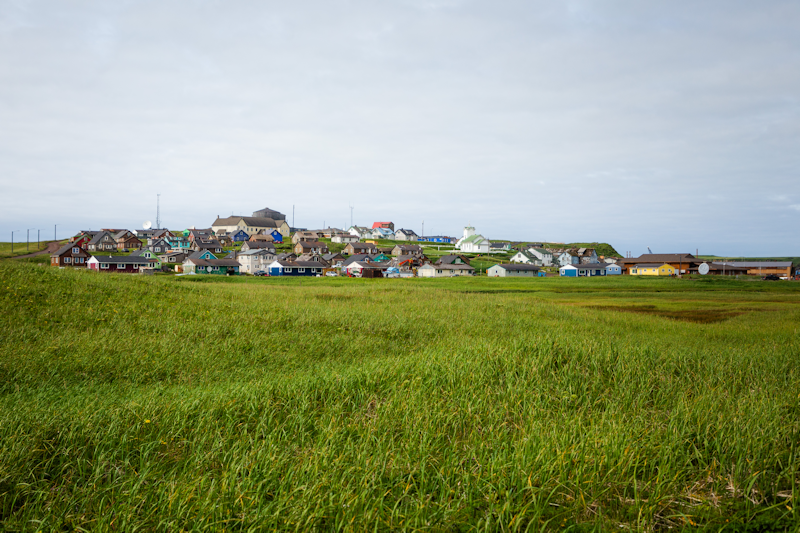
The town of St Paul, which sits on a promontory extending south of the island of the same name, which is up to 15 miles long.
Interestingly, there were hardly any people to be seen in the town, the local Aleuts seemed somewhat shy, which is not surprising, given the invasion of their quiet homeland by over a hundred visitors from our ship.
|
 |
Nome, Alaska.
Day 7 : Wed 12th August.
We anchored early doors off Nome and tenders brought us ashore.
Nome is most famous for the gold rush which reached its peak in 1899.
Everywhere there are relics of machinery which once dredged the gold from rivers and the sea.
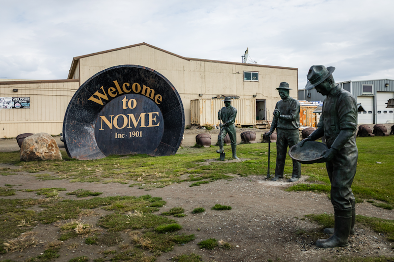
This huge gold 'panner' welcomes visitors to the town, which today has a population of about 3,500.
|
 |
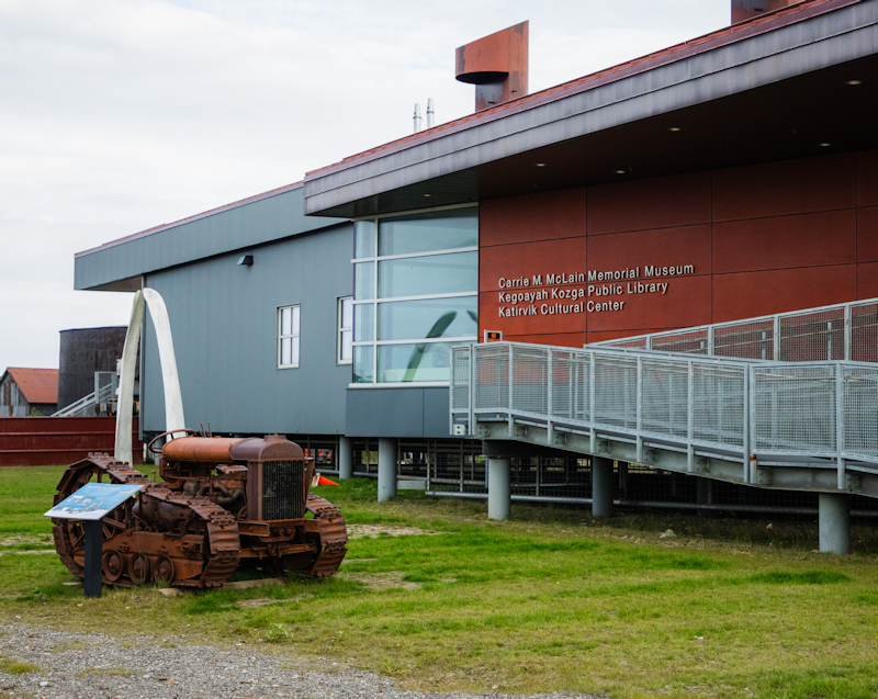
A yellow school bus took us to this museum, which has exhibits related to the town's rich history.
|
 |
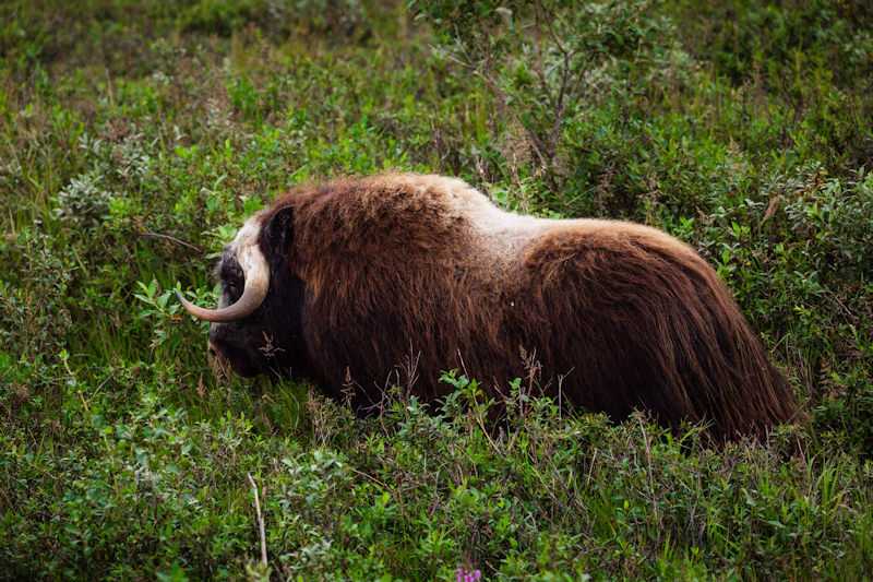
Although I didn't see any myself, there are musk oxen grazing and roaming around the town's outskirts.
|
 |
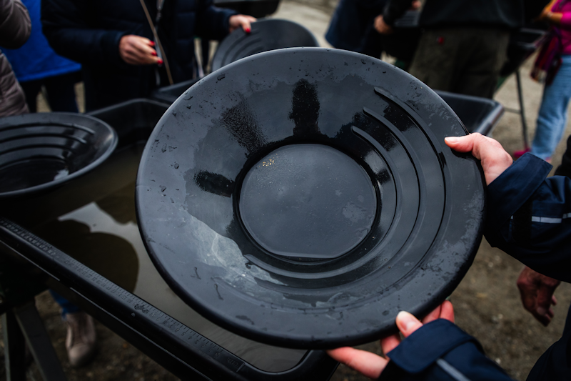
As part of a shore excursion I accidentally joined, we were given the chance to actually pan for gold within the town.
I tried the swishing method and did end up with about 7 specks of gold dust in my pan.
|
 |
|
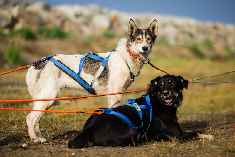
Another stop for our bus was a sled dog training activity, where a pack of 8 huskies belonging to a local couple pulled a quad bike around a dirt track.
|
 |
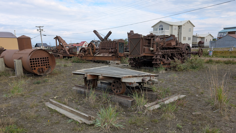
There was a lot of abandoned equipment lying around in the town, because of the expense of disposing of old gear, bulldozers and dredging kit was simply left out to rust.
|
 |
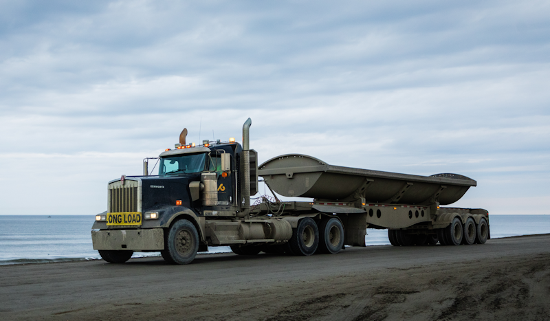
I'm interested in those big American trucks, this one was seen carrying huge boulders to use in building a new port.
|
 |
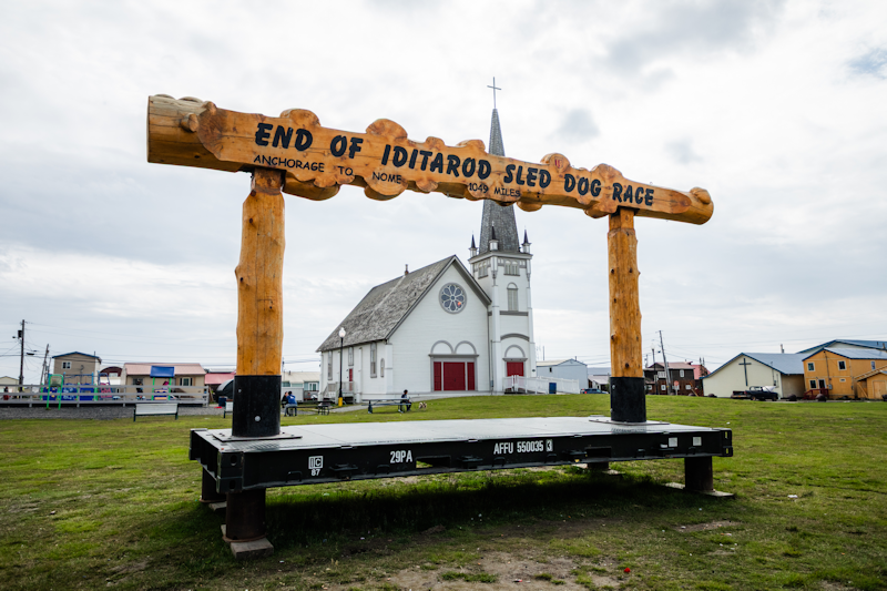
There is an annual sled dog race between Anchorage and Nome.
This monument is where the race finishes.
The race celebrates the famous Nome Serum Run.
The 1925 Serum Run to Nome was a historic event where 20 mushers and about 150 sled dogs transported diphtheria antitoxin across 674 miles (1,085 km) in just over 12 days to save the town of Nome from a diphtheria epidemic.
|
 |
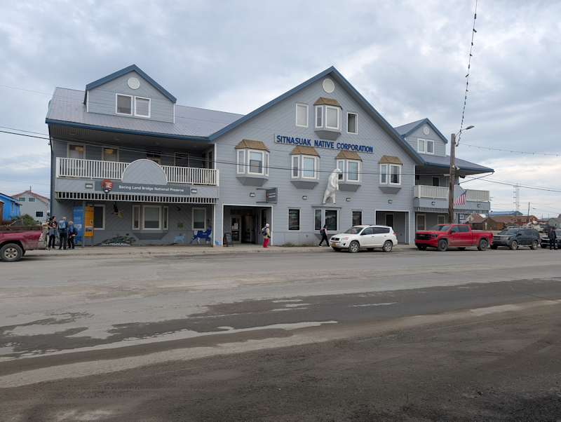
A typical building in Nome.
|
 |
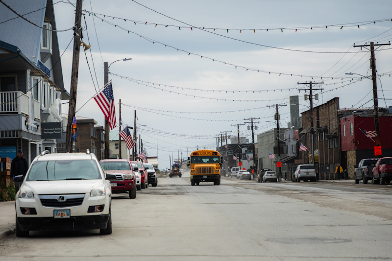
Looking along the main street.
|
 |
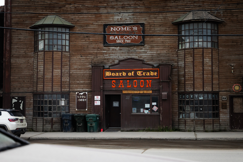
Naturally, the highlight of the day was a couple of beers in the Board of Trade Saloon.
|
 |
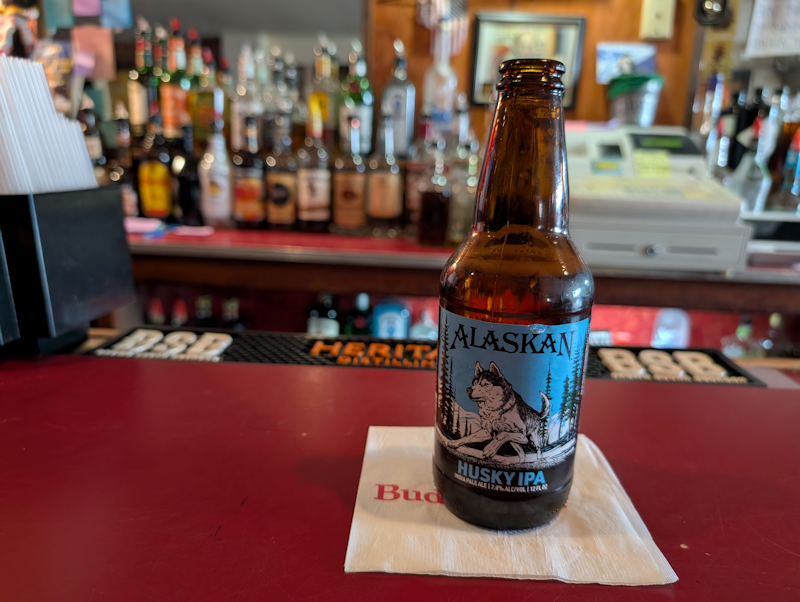
This was one of the two IPAs I tried.
The first one was called Icy Bay IPA.
Both of them were strong in alcohol, hence I limited myself to just two beers!
|
 |
First sea ice, Alaska, a day at sea.
Day 10 : Sat 15th August.
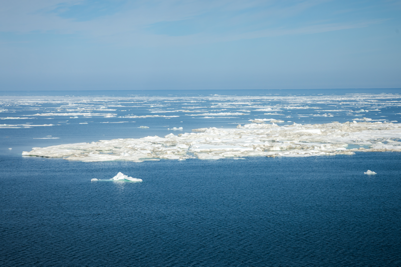
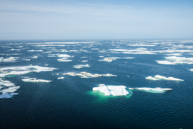
Awakened this morning with a bump or two as the ship encountered the first sea ice off the northwest tip of Alaska.
The captain zigzagged a bit to avoid the larger areas of solid ice such as this.
|
 |
More ice.
|
 |
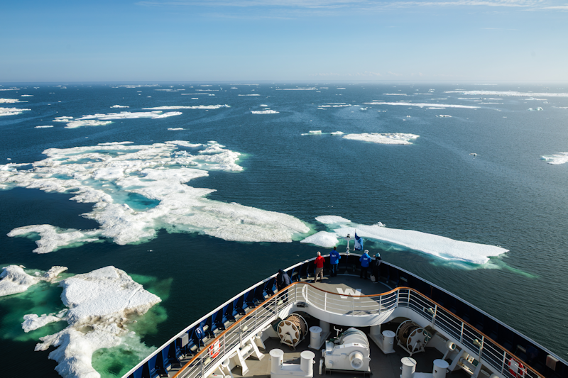
I'm almost certain the guy in the red fleece at the bow of the ship is me with my binoculars, watching as we crunch through chunks of ice!
Certainly it was not one of my own photographs.
|
 |
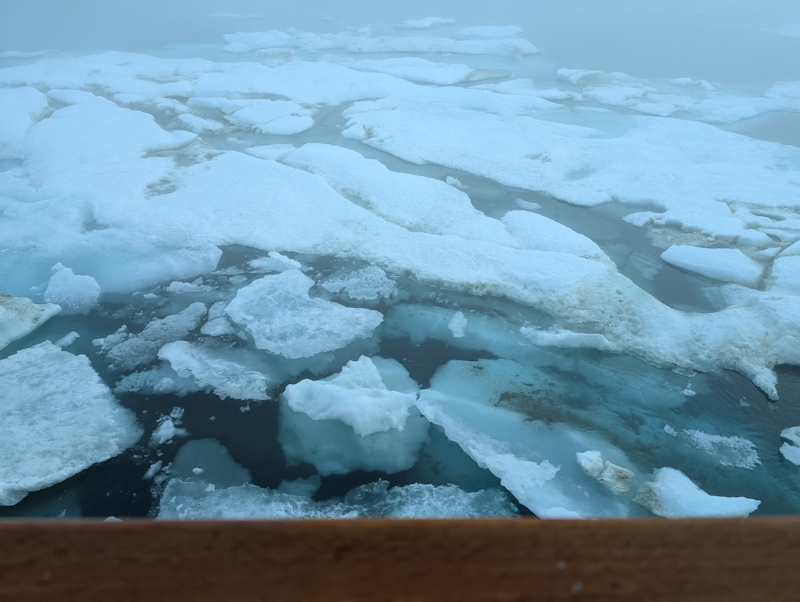
I took this photo from my cabin's balcony.
Generally the ship sailed around the bigger chunks but when it wasn't feasible to avoid them, the ship would vibrate as it rode over them.
|
 |
More ice, Alaska, another day at sea.
Day 11 : Sun 16th August.
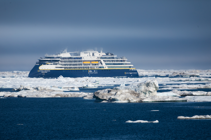
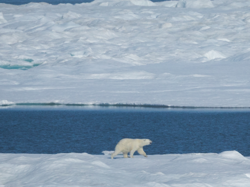
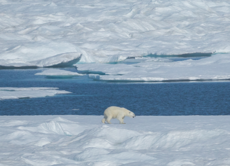
Both our ship and a National Geographic one spotted polar bears on an ice floe off Alaska.
Captain Rössler stopped the ship so we could get our binoculars or fancy cameras out and try and locate the two bears.
|
 |
The ship's photographer got a few shots of one bear, which I cropped to get a better view here.
|
 |
|
Another photo of the same animal, heading quickly away from the American ship.
|
 |
|
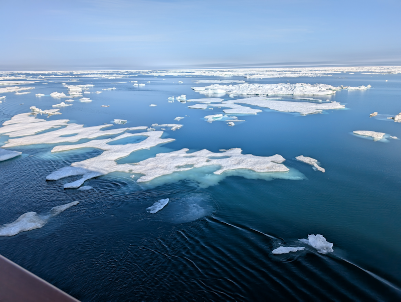
Some of the ice went down several feet below the surface, though it is mainly one year old ice, according to the scientists on board.
|
 |
|
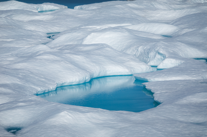
Features of the icescape.
|
 |
|
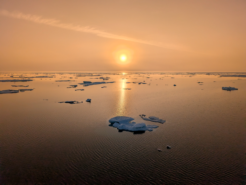
Dusk and the blues and whites give way to shades of orange as the sun starts its descent in the night sky.
|
 |