Smoking Hills, Northwest Territories, Canada.
Day 14 : Wed 19th August.
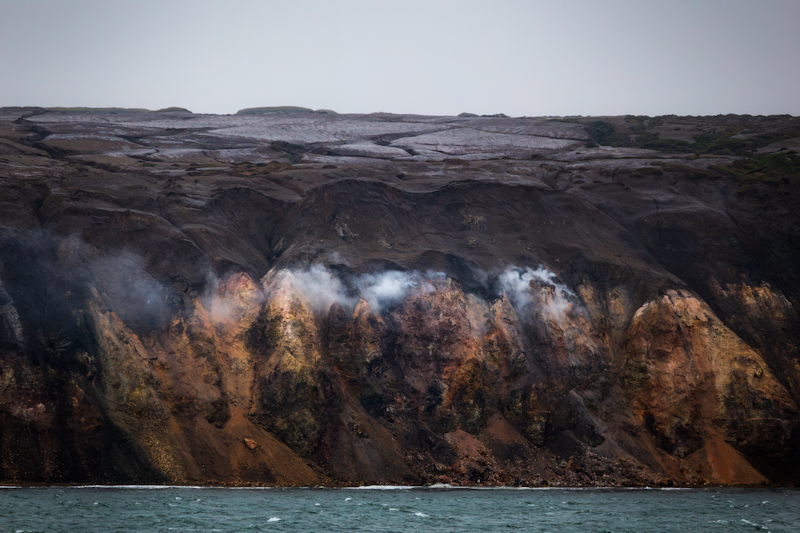
The Smoking Hills are located on the east coast of Cape Bathurst in mainland Canada's Northwest Territories.
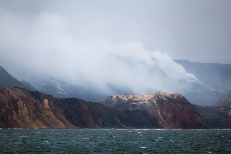
The coastal hills contain layers of oil shales which self ignited and have been burning continuously for centuries.
|
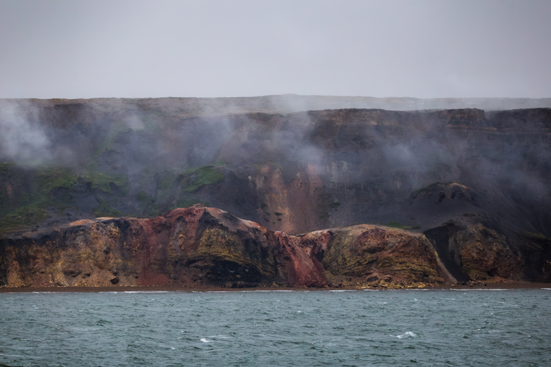 |
The red colouring is caused by iron residues from the ash of the burnt lignite strata.
|
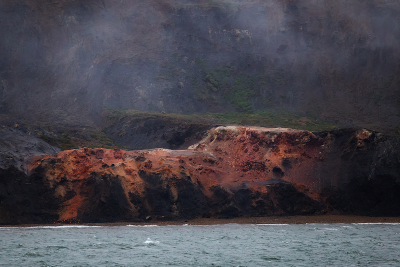 |
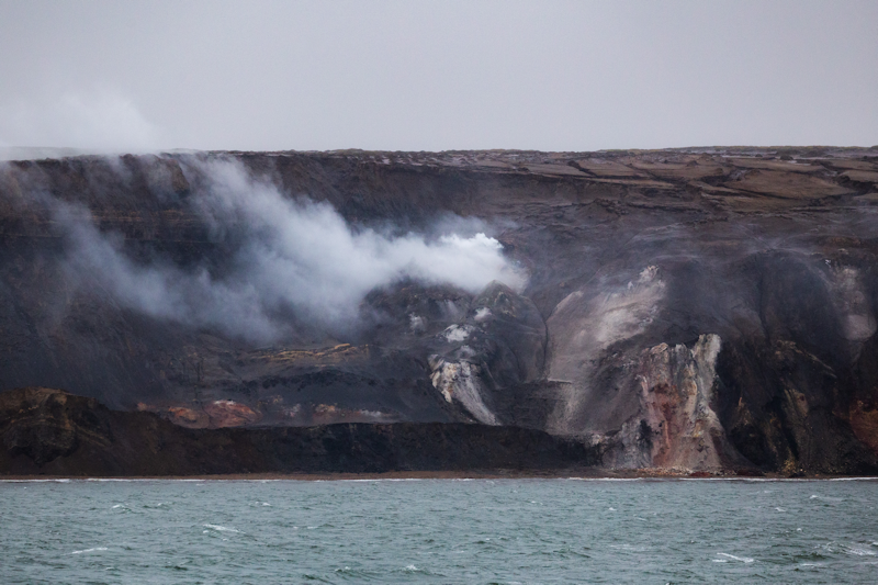
This section is actively burning and producing smoke.
|
 |
|
More of the same.
|
 |
|
I wonder how long this coastline will burn, it's impossible to extinguish, so maybe many more centuries.
|
 |
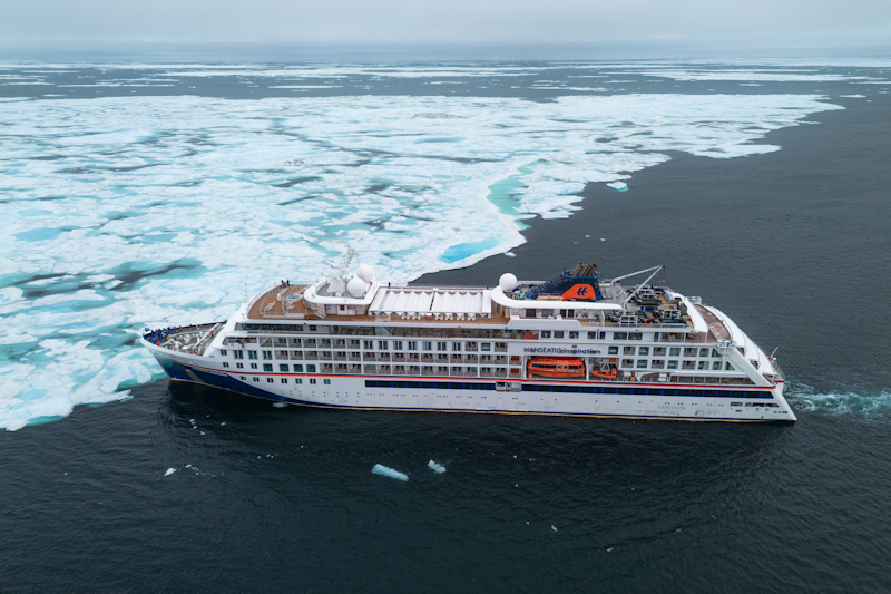
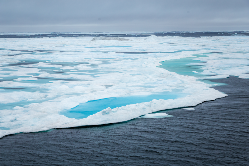
Heading north towards Sand Point, we encounter a large ice sheet.
This is the view from the ship's drone.
|
 |
|
The ice is a patchwork of whites and blues.
|
 |
Sachs Harbour.
Northwest Territories, Canada.
Day 15 : Thu 20th August.
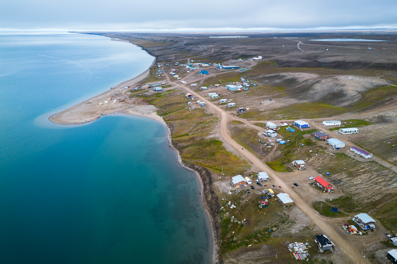
Sachs Harbour (also known as Ikaahuk) is a hamlet of about 100 people situated on the southwest coast of Banks Island.
We did a zodiac landing near the sand spit and were taken on a tour of the area by a young Inuit girl.
|
 |
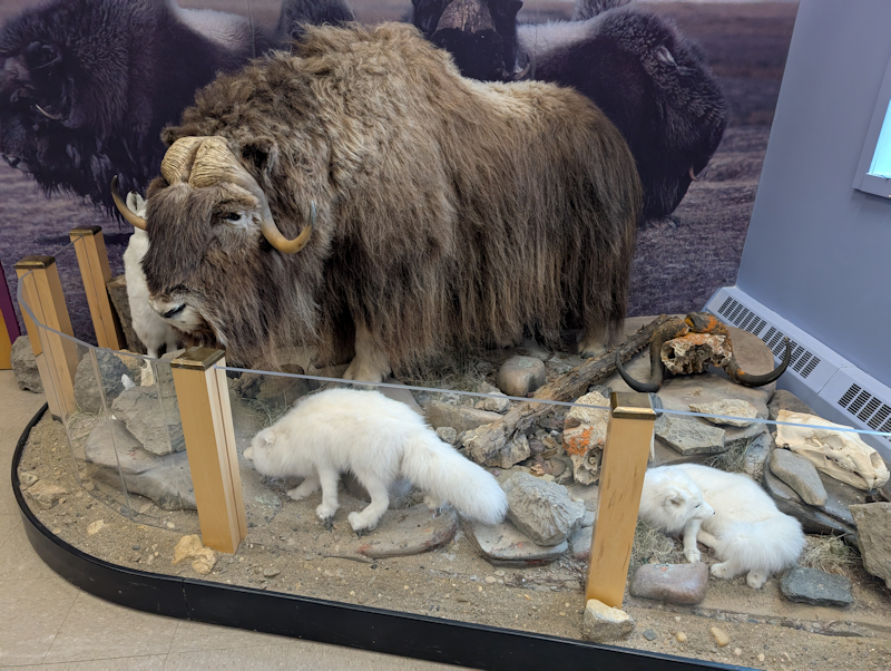
A display in the tiny museum showing the kind of fauna seen on the island.
Here were a musk ox, arctic hares and arctic foxes.
|
 |
|
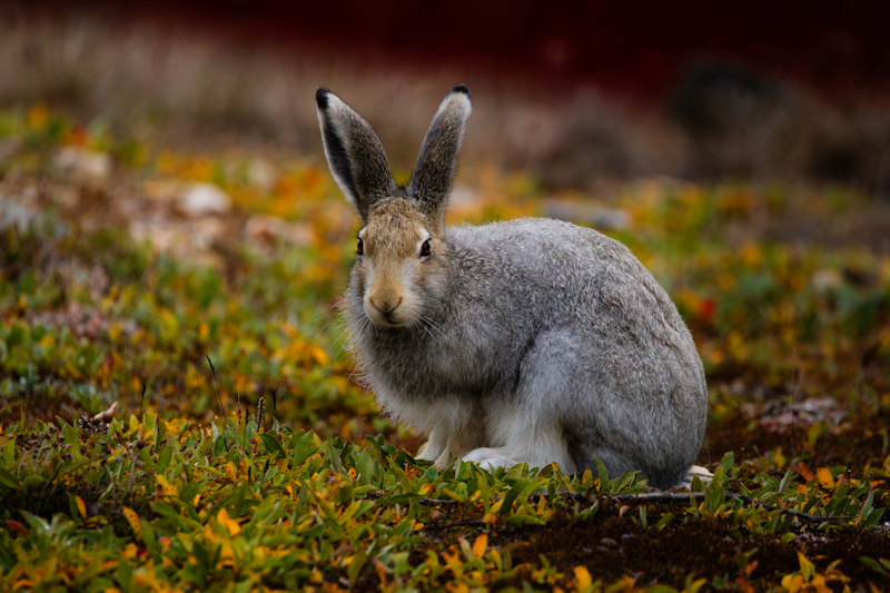
This was a real arctic hare in its non-winter camouflage.
|
 |
|
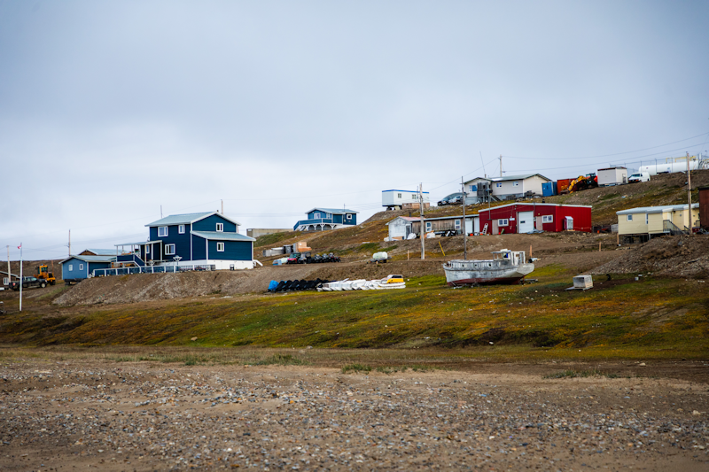
Part of downtown Sachs Harbour.
|
 |
|
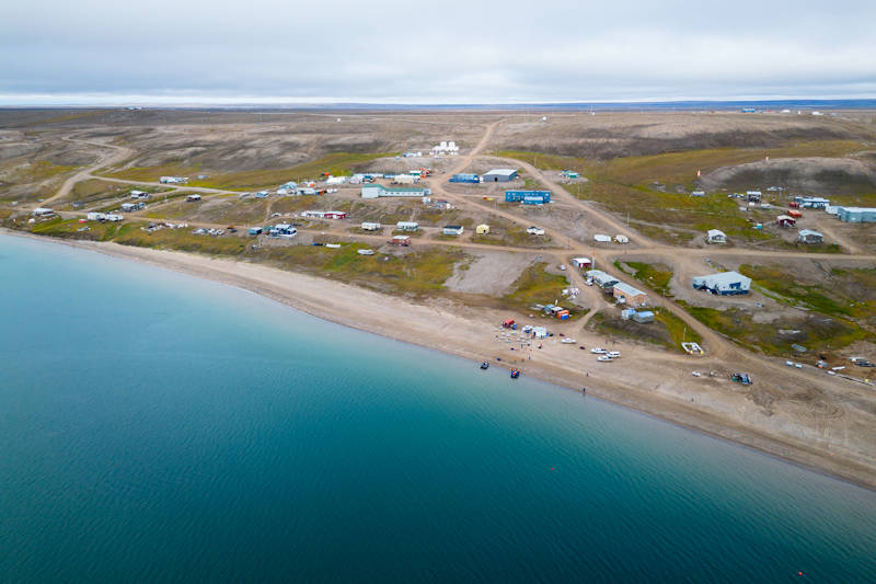
Another aerial view, showing the landing site on the beach.
|
 |
|
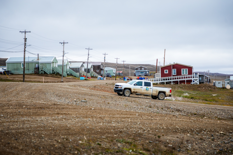
For such a small population there were quite a lot of road vehicles, including trucks in town.
|
 |
|
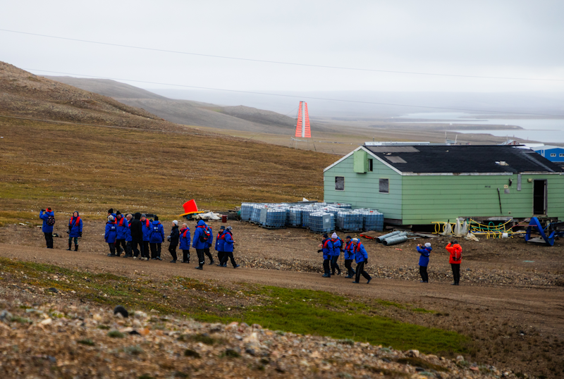
A group of passengers ashore in the distinctive blue parkas we were all given use of.
|
 |
Teddy Bear Island.
Bernard Harbor, Nunavut, Canada.
Day 16 : Fri 21st August.
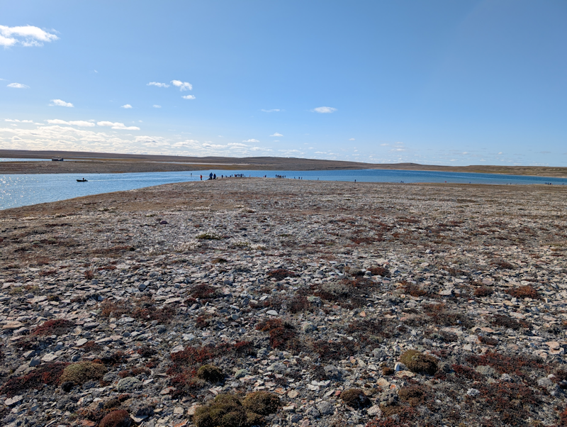
Today the Canadian authorities didn't allow us to land zodiacs on the mainland at Bernard Harbor, but we were able to visit the nearby small 'Teddy Bear Island'.
It was a bit non-descript, just sand, stones and tundra scenery.
Nevertheless, an opportunity to get off the ship and walk around a bit.
|
 |
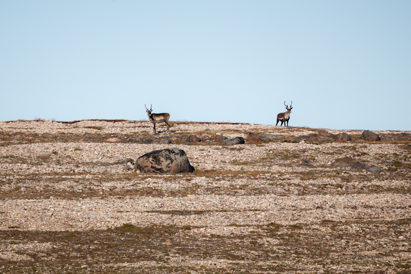
A couple of elk spotted across the water on the mainland.
|
 |
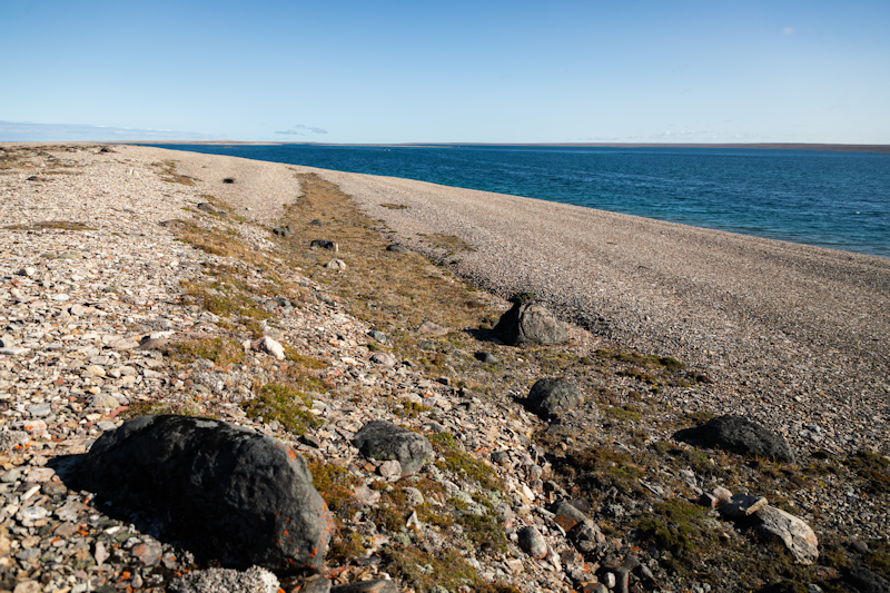
A desert island, but near the Arctic circle.
|
 |
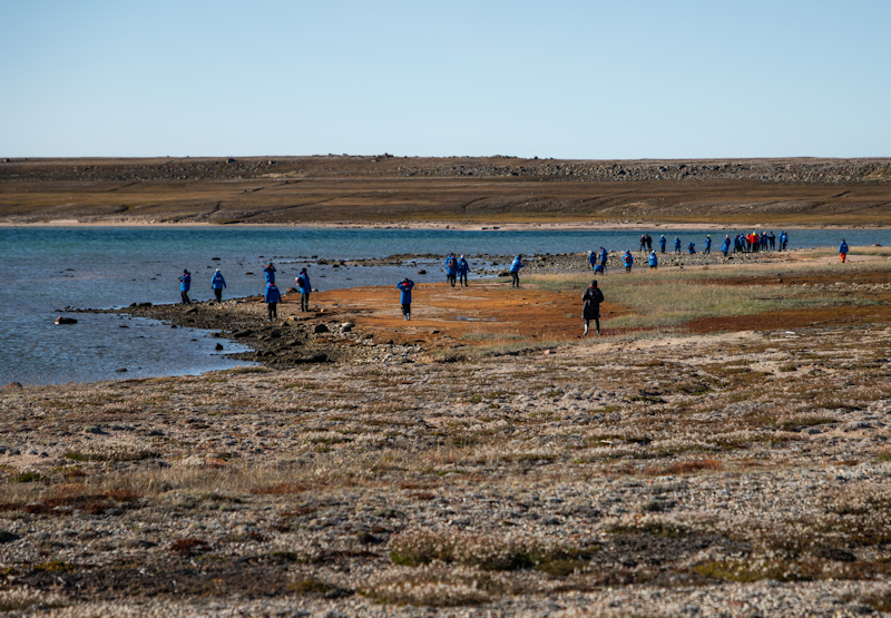
The usual scenario on this cruise was groups of blue parka clad people wandering about on a dull island!
|
 |
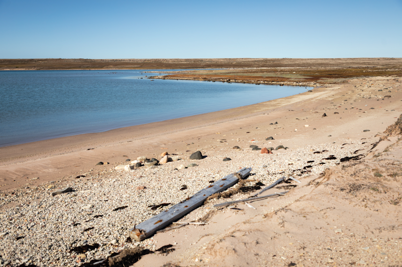
Beach with wood debris.
|
 |
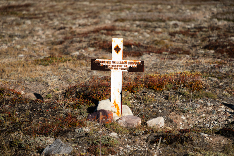
There were a couple of graves on the island of men, probably Europeans, who died in 1927.
|
 |
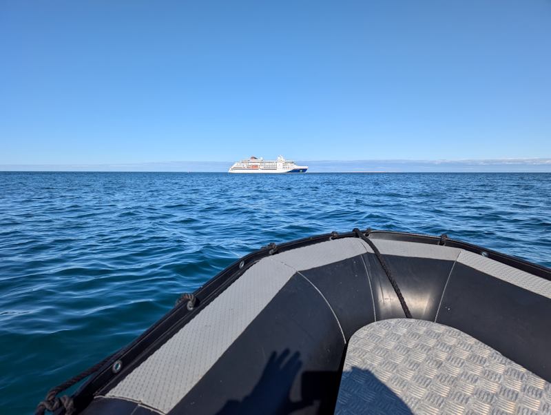
I always enjoyed the trip back to the ship on the zodiac.
Inevitably there would be on board comforts to look forward to, and often the daily landings were somewhat bleak.
|
 |
Mangak Island, Canada.
Day 17 : Sat 22nd August.
This was a very early zodiac landing; I wasn't feeling on form, so decided not to join in.
All these five photos are from the ship's photographer.
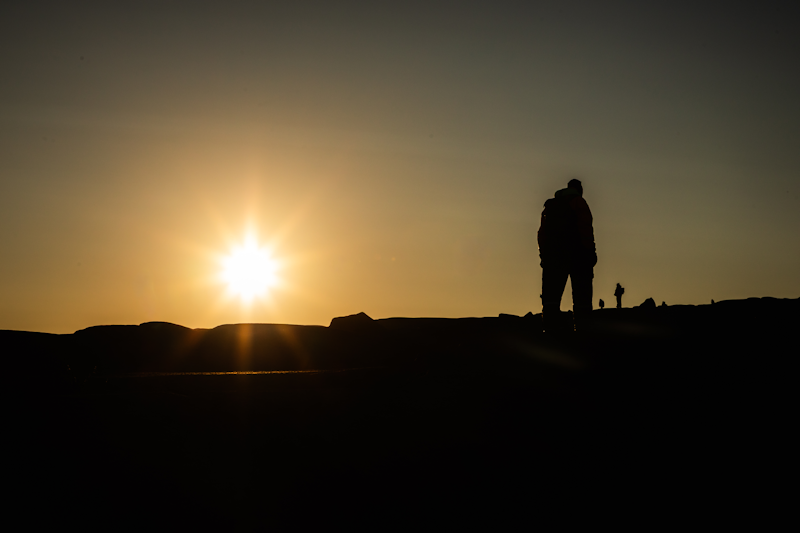
This is a nice shot of sunrise over Mangak Island.
|
 |
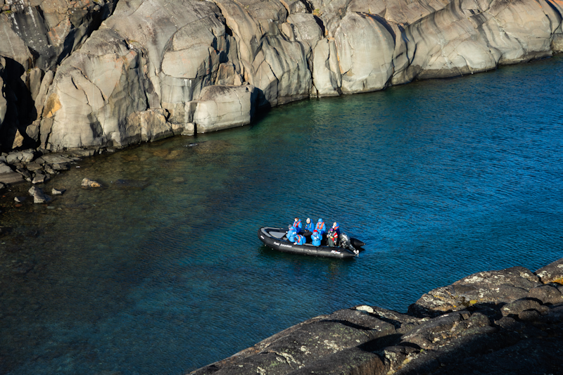
A zodiac visit to an inlet of the island.
|
 |
|
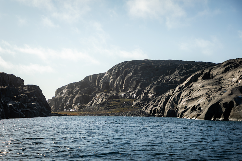
A very rocky island.
|  |
|
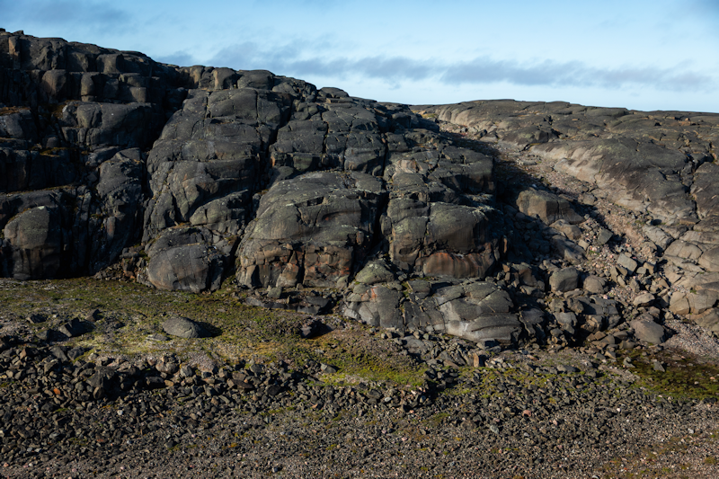
It looks like lava from volcanic activity.
|  |
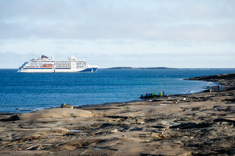
The landing area - everything is just rock!
I'm glad I didn't do on this landing.
|  |
Tree River, Nunavut, Canada.
Day 17 : Sat 22nd August.
This river is a tributary of Coronation Gulf.
The captain took the ship far into the natural harbour, from where the zodiacs were launched in two waves.
The cruise lasted about 90 minutes, going up the river as far as we could before a waterfall where salmon fishing took place.
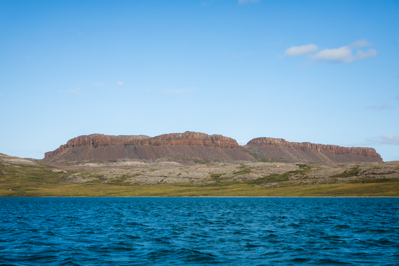
This shot is of the bay where we anchored.
|
 |
|
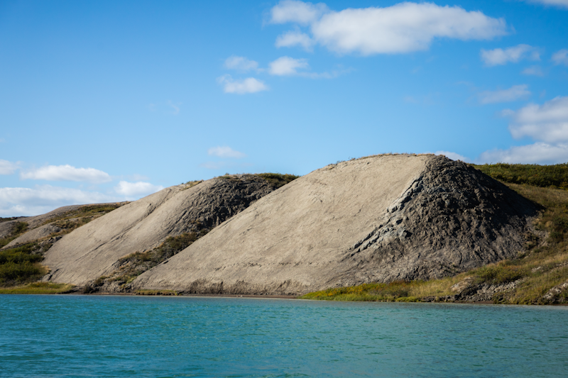
Typical mounds of shale or sand which lined the river.
|
 |
|
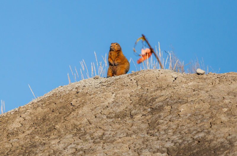
These little ground squirrels lived on the river bank and looked like miniature versions of the European marmot.
|
 |
|
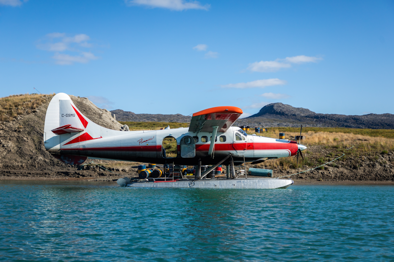
This seaplane took off down river as we watched.
|
 |
|
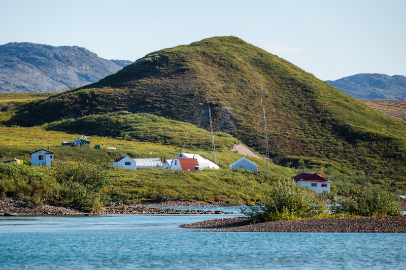
The settlement where our cruise turned back and where the visiting salmon fishermen did their thing.
|
 |
|
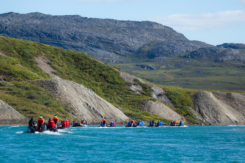
Our flotilla of zodiacs heads back down river.
|  |
|
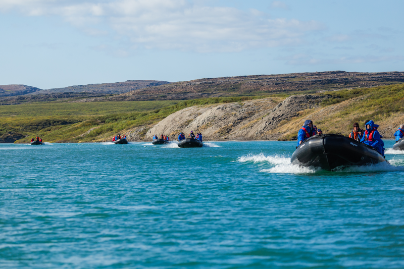
It was good fun!
|
 |
|
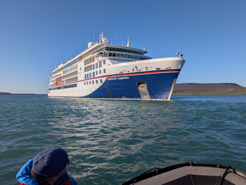
Back to the ship for a coffee.
|
 |
Johansen Bay
Victoria Island, Nunavut, Canada.
Day 18 : Sun 23rd August.
This was another early zodiac landing, from which I opted out.
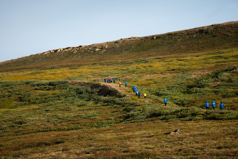
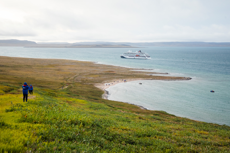
The activity was essentially a walk up a slope, along a rocky ridge and back down.
This photo shows the slope and people walking up it.
|
 |
The landing area from high up.
|
 |
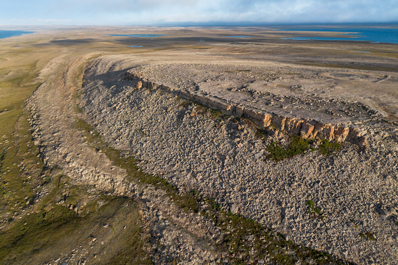
The rocky plateau, as seen from the drone.
|  |
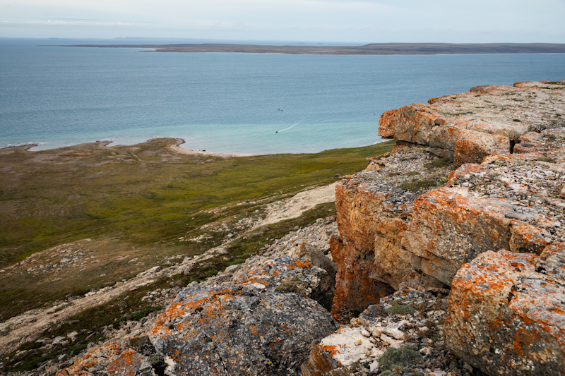
The rocky bits, peppered with orange lichens.
|
 |
|
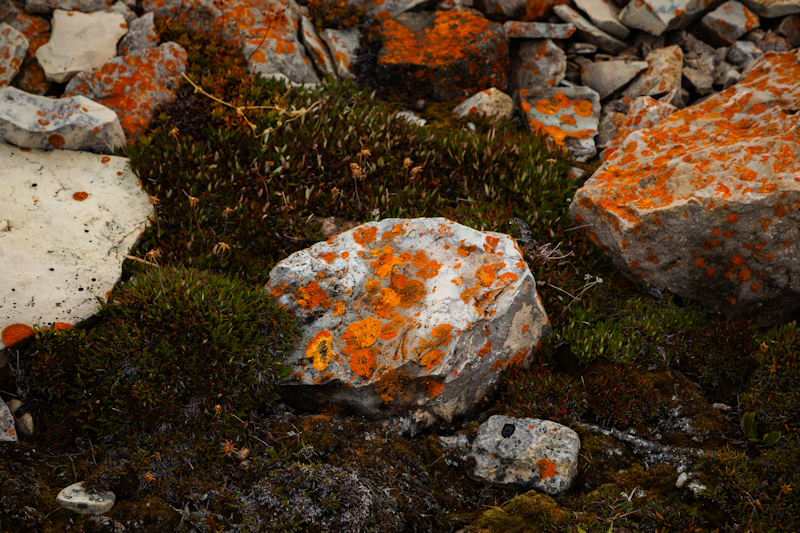
For those interested, a rock with pretty orange lichens.
|
 |
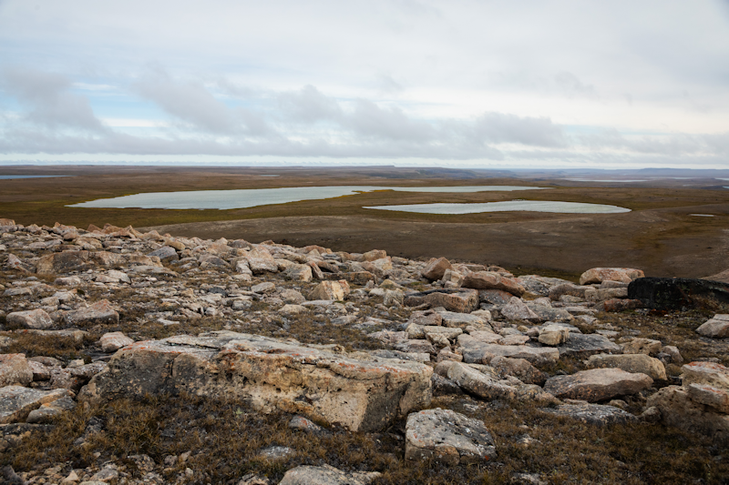
A view looking inland on Victoria Island.
|
 |
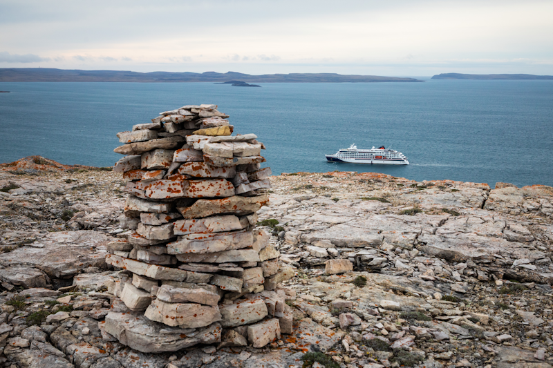
A cairn on the plateau with the ship in the bay below.
|
 |
|
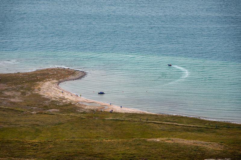
Zodiac activity down on the coast.
|
 |
Cambridge Bay, Nunavut, Canada.
Day 19 : Mon 24th August.
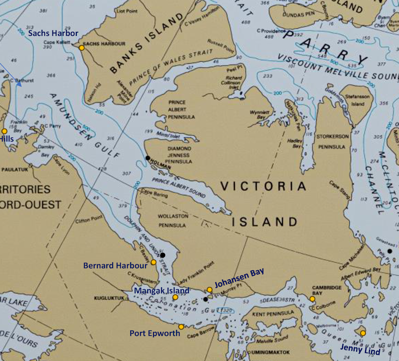
The town is located on Victoria Island, the second largest in the Canadian Arctic Archipelago.
The town's main industry is fishing, though tourism is gradually growing, and there are two hotels in the town.
|
 |
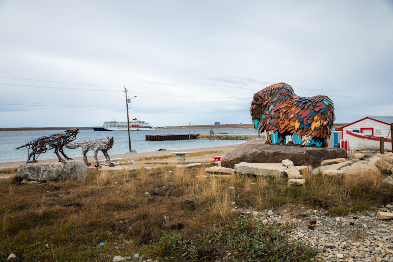
Sculptures fashioned from scrap metal are installed near the harbour, representing a fox, wolf and a musk ox.
|
 |
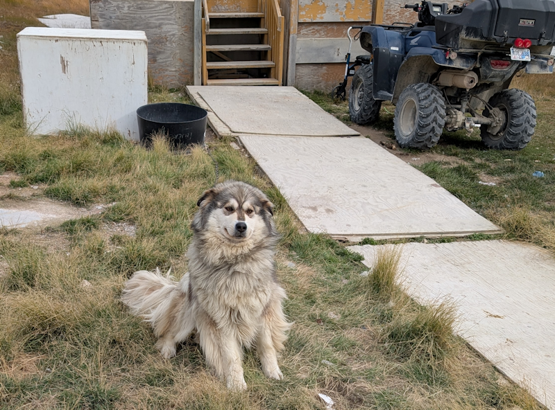
Soon after we landed this very friendly dog greeted us.
We then set out to explore the township.
|
 |
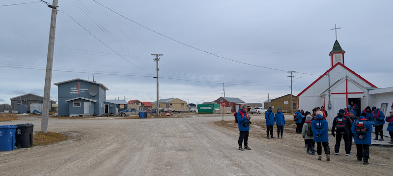
Further up the road were two churches, the one on the right opened its doors for us to look inside.
|
 |
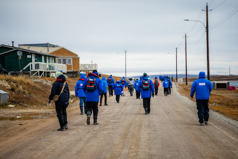
Exploring Cambridge Bay.
|
 |
|
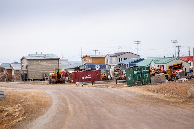
A scene from the town with earthmoving machinery and shipping containers scattered about.
|
 |
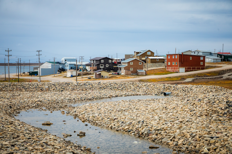
Colourful buildings sit around the bay.
|
 |
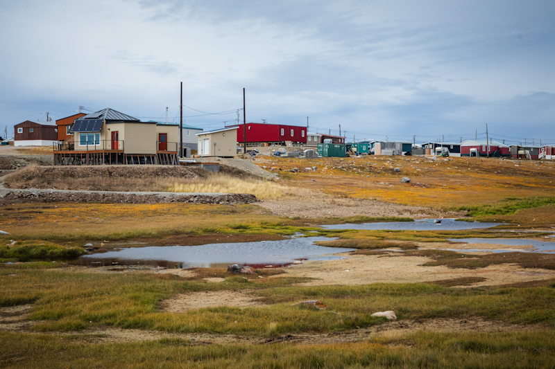
Not a tree to be seen, just tundra grasses and flowers.
|
 |
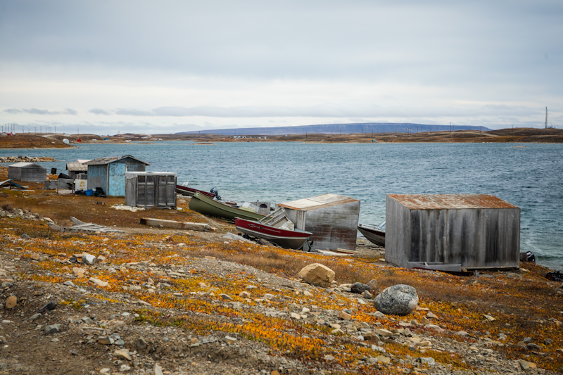
Boats and sheds along the shore.
|
 |
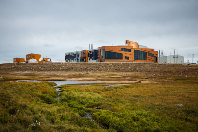
The modern and new Arctic Coast Visitor Center with many exhibits and scientific study rooms and laboratories.
|
 |
Jenny Lind Island
Queen Maud Gulf, Nunavut, Canada.
Day 20 : Tues 25th August.
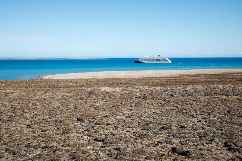
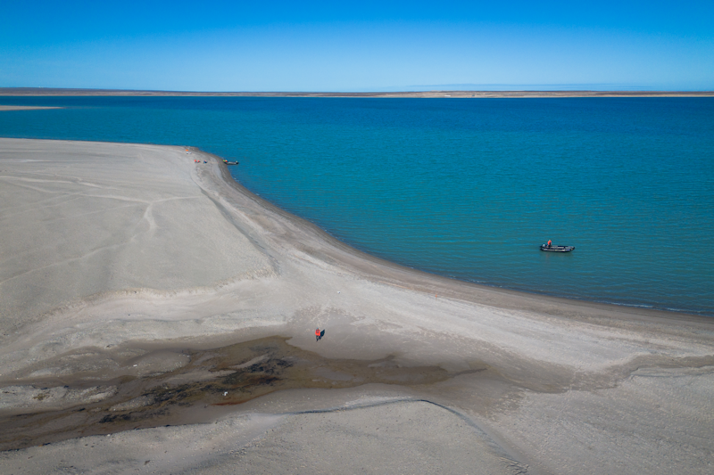
This small sandy island was named after a famous Swedish opera singer of the 19th century.
There is not much here on this uninhabited island, except for a herd of Musk Oxen.
|
 |
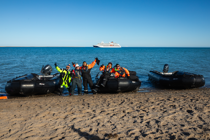
Some of the expedition crew, including zodiac drivers.
|
 |
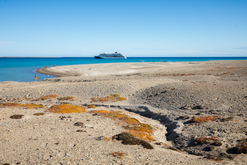
The scenery is typical tundra, no trees and sparse vegetation, though we were roaming on only a tiny part of the island.
Again, the landing was an opportunity to get some exercise away from the ship.
|
 |
A view from the drone.
|
 |
Gjoa Haven.
King William Island, Nunavut, Canada.
Day 21 : Wed 26th August.
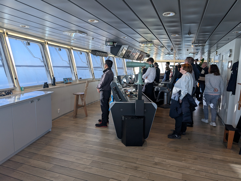
Early this morning a number of us went up to the bridge to see navigation through the narrow Simpson Strait, which is a hazardous thin strip of sea between Adelaide Peninsula and King William Island.
There was no ice, but the ship had to proceed slowly through the channel as we headed towards Gjoa Haven.
|
 |
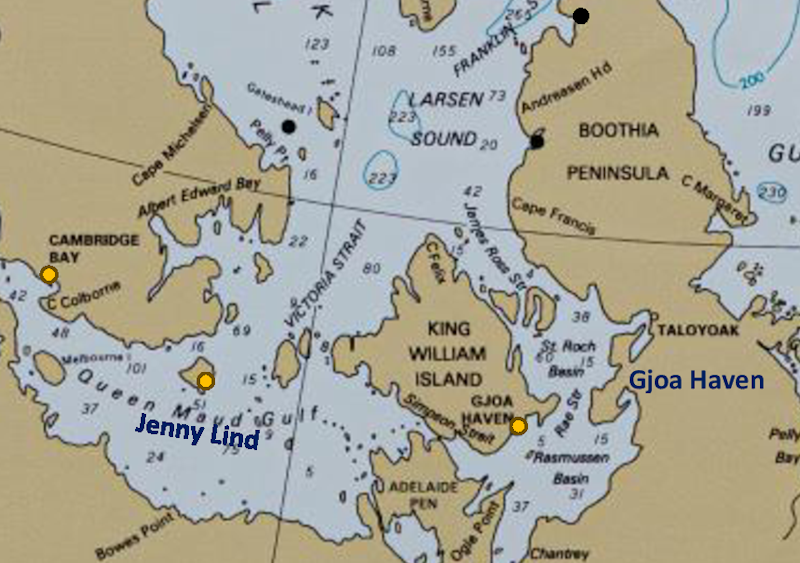
A map of the area showing King William Island and the previous two destinations.
|
 |
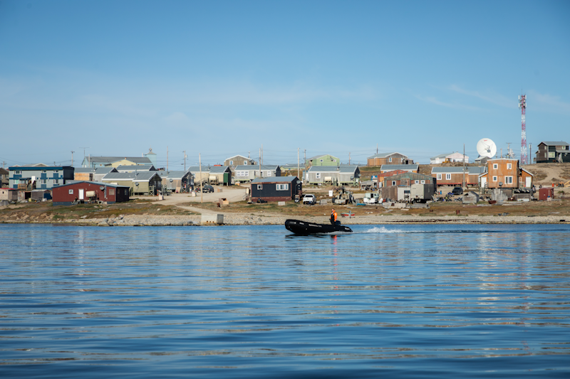
The zodiacs are out again preparing for the wet landing as we anchor off Gjoa Haven.
The discovery of HMS Erebus and HMS Terror shipwrecks in 2014 and 2016 from Franklin's lost expedition is expected to be bring increased tourism to Gjoa Haven, the nearest community to them, which lie in shallow waters to the west.
|
 |
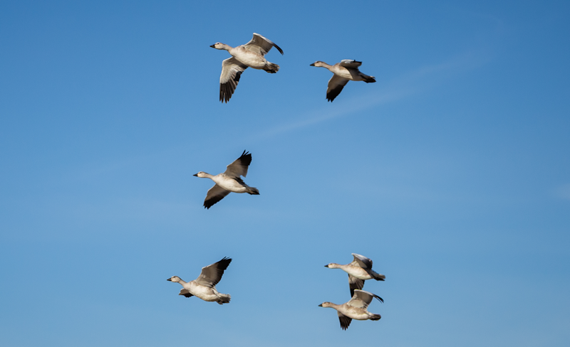
Snow Geese in flight.
|
 |
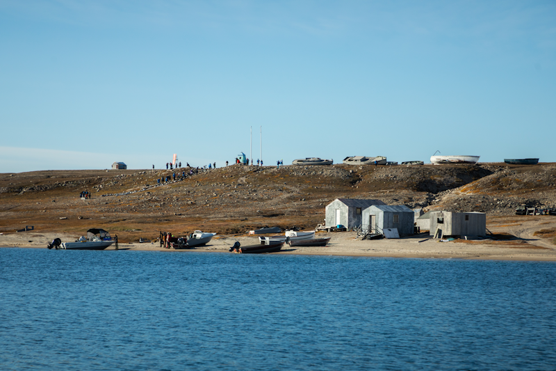
Across the bay, around which our afternoon walk went.
|
 |
A view from higher ground.
|
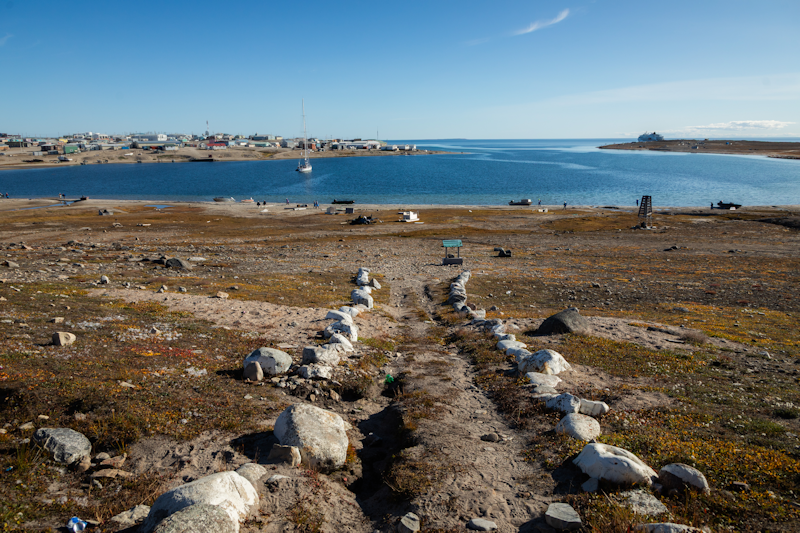 |
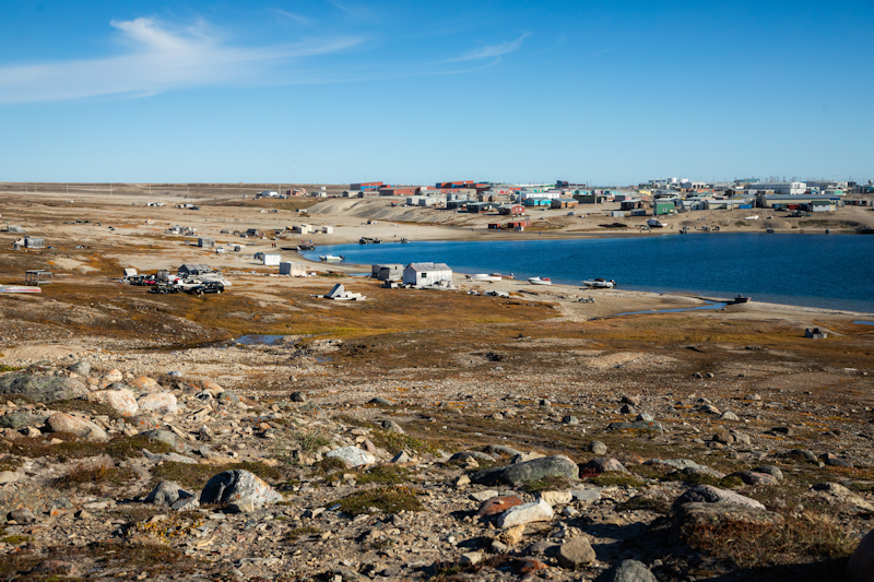
Gjoa Haven was named by early 20th-century polar explorer Roald Amundsen after his ship Gjoa.
It is a natural harbour, very much liked by Amundsen, who lived there for 2 years.
|
 |
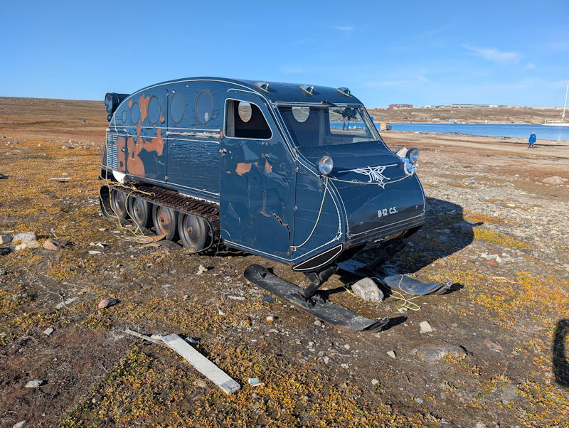
This tracked ski vehicle has no doubt seen better days.
|
 |
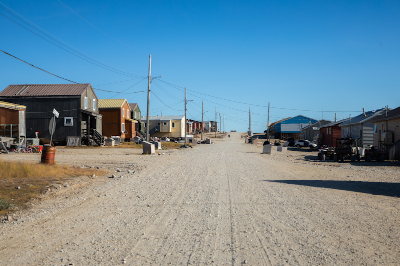
Gravel roads are everywhere, with no sign of tarmac in this town, which has a population of about 1,500.
|
 |
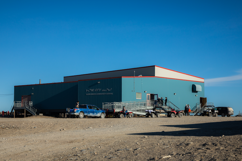
The Community Centre, in which all the visitors gathered in the late afternoon for entertainment.
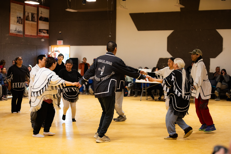
There was local food and then throat singing demonstrations and a typical barn dance, before we returned to the ship.
|
 |
The 'yee hah' knees up to end this little excursion in the heart of Canada's Nunavut province.
|
 |
Larsen Sound and Franklin Strait.
Day 22 : Thu 27th August.
We are finally heading north, after essentially following the north coast of North America for a couple of weeks.
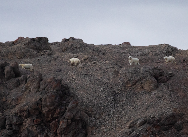
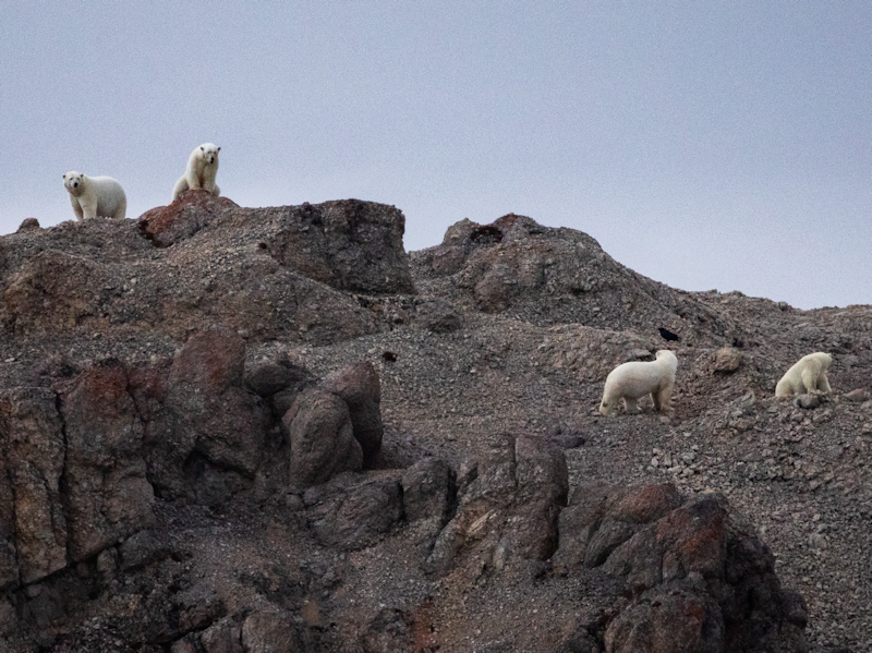
The day's excitement was dominated by a couple of polar bear sightings, two bears on a flat coastal area and four bears on a ridge on Prince of Wales Island directly opposite Bellot Straight to the east.
I wasn't able to capture anything on my mobile, so all the bear pictures are courtesy of the ship's photographer.
|
 |
The same four bears.
|
 |
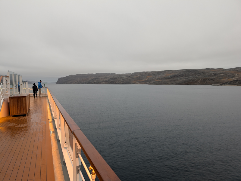
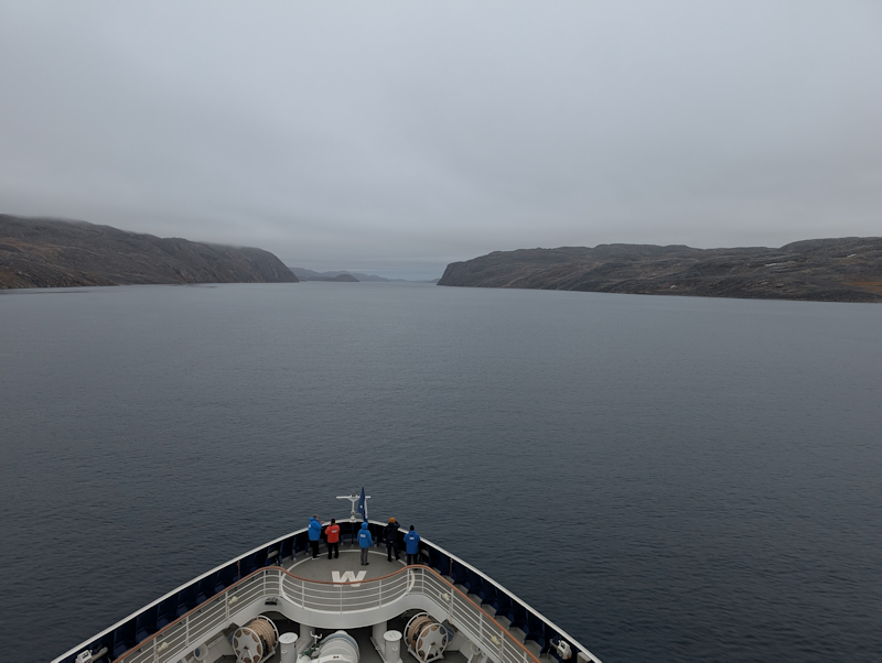
A slight change of plan led to the captain taking the ship east along the Bellot Strait, which marks the most northerly point of North America.
The waterway divides the Boothia Peninsula from Somerset Island to its north.
Here we are approaching the narrowest point of Bellot Strait.
|
 |
|
So Somerset Island is to the left and continental North America to the right.
|
 |
Strzelecki Harbour.
Prince of Wales Island, Nunavut, Canada.
Day 23 : Fri 28th August.
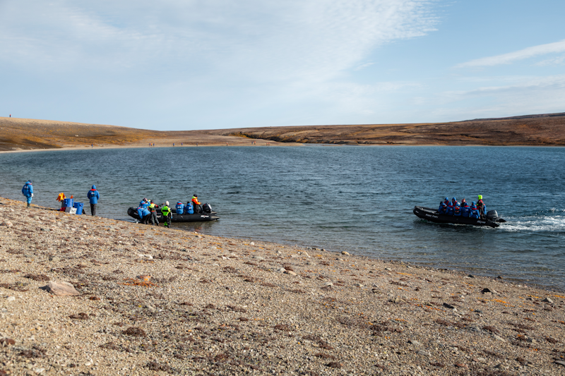
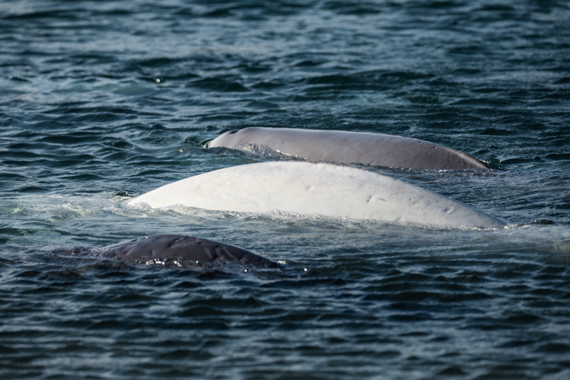
We did a zodiac landing here where there happened to be a small pod of Balena whales swimming around in the shallow waters.
The whales were a bit elusive and I'm relying again on the ship's photographer for the meagre pickings of good photos.
More visitors arrive as everyone with a camera is lining up to try and get some good snaps of the white whales.
|
 |
|
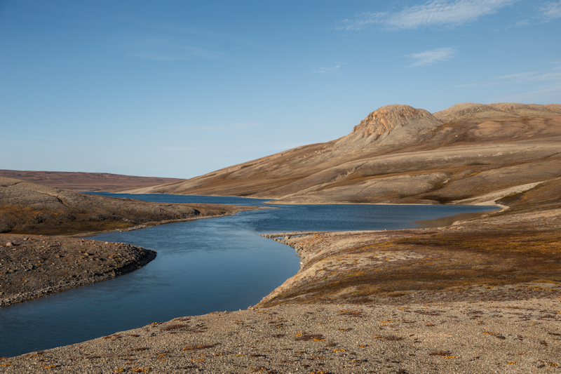
Our small part of Prince of Wales island.
|
 |
|
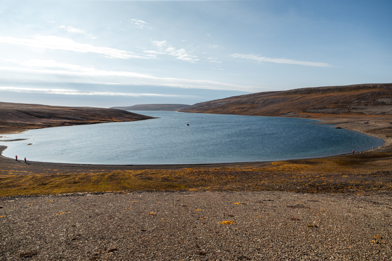
The entire little bay, the whales were generally in the left of the bay, near the shoreline.
|
 |
|
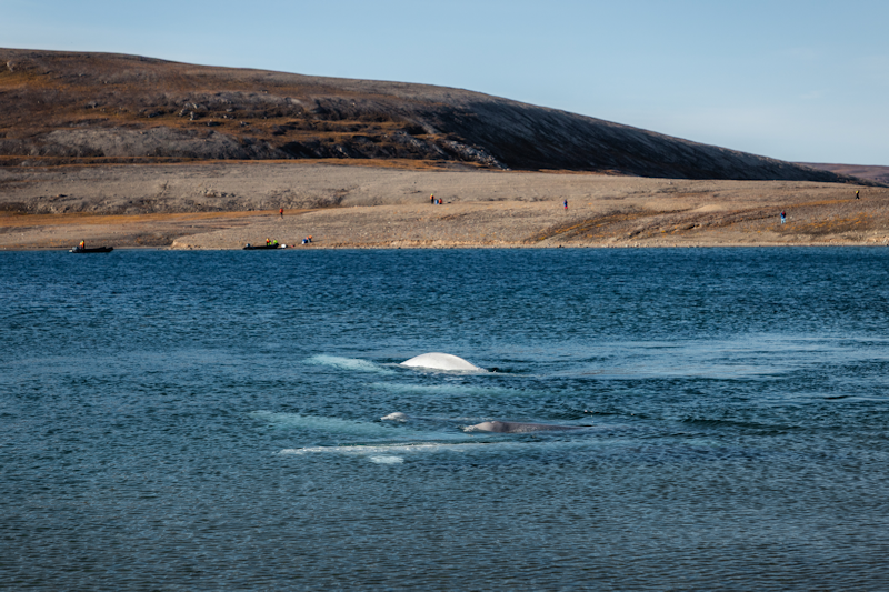
There were about 6 or 7 whales, the white ones were adults and there was at least one grey calf.
|
 |
|
The white one in the middle is probably the mother and the grey ones the calves.
|
 |
|
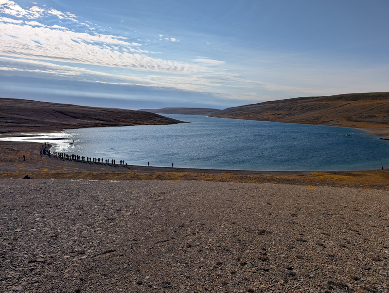
The afternoon moves on as we hope for better views of the Balenas.
|
 |
|
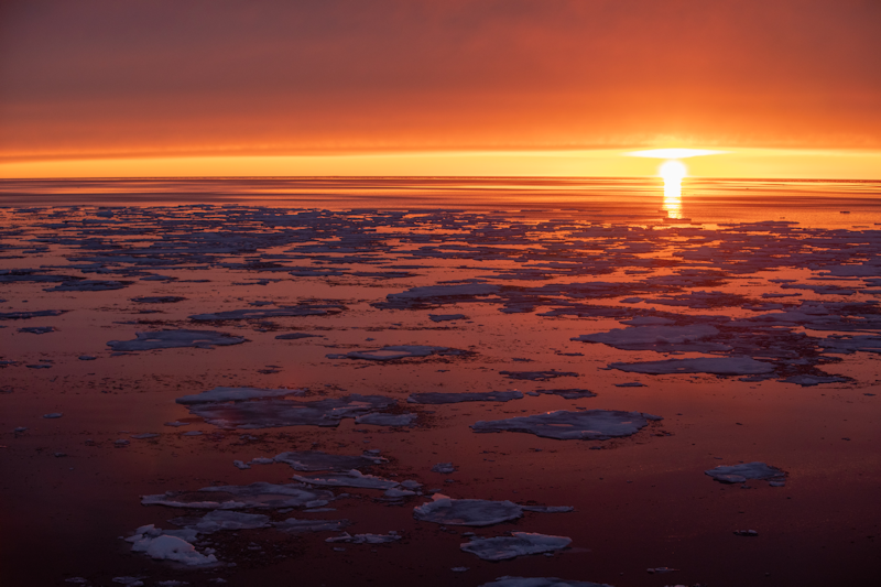
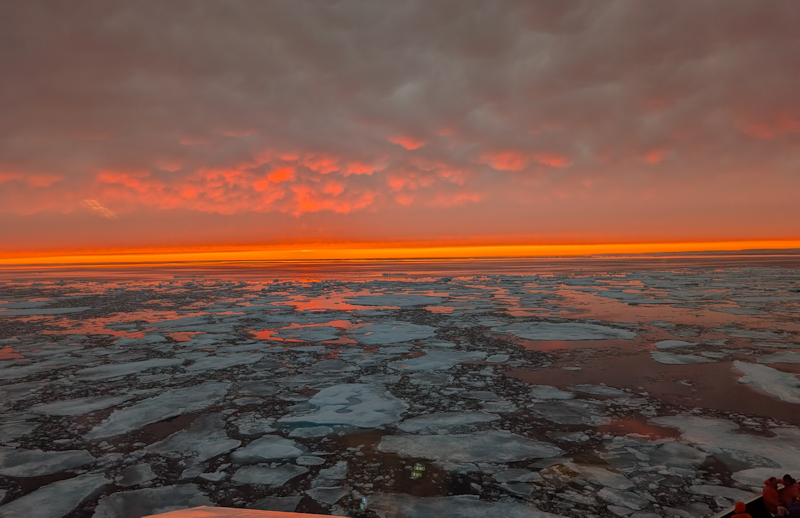
All aboard and off we go, heading north as the sun sets and creates some rather colourful vistas over the icy seas.
|
 |
|
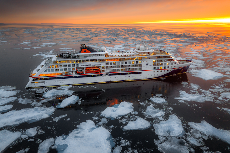
A drone view of the ship as we sail on through the loose ice, heading up along Peel Sound.
|
 |
|
One of my own photos.
|
 |
|
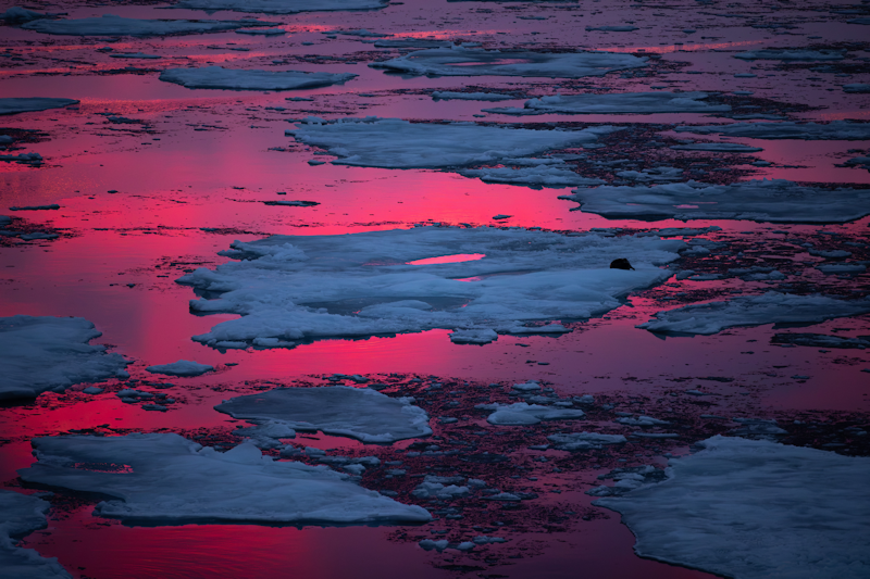
Magentas and blues.
|
 |
Beechey Island.
Near Devon Island, Nunavut, Canada.
Day 24 : Sat 29th August.
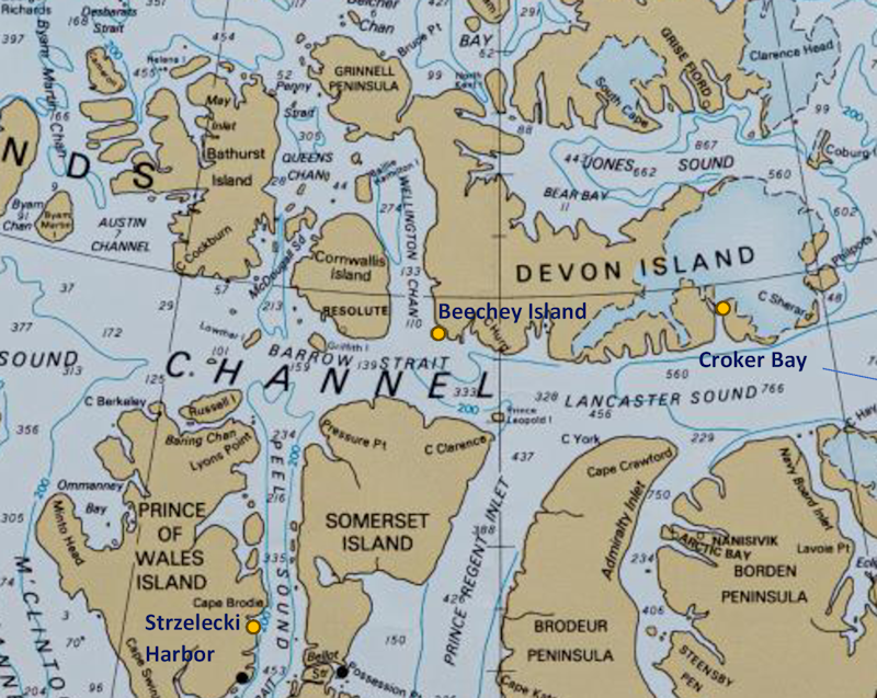
We are now close to Devon Island and near the end of our Canadian exploration.
Beechey Island is where 4 of the men who died on John Franklin's ill fated last voyage are buried.
This map shows the region of Canada we are now in.
In essence, we are have reached the end of the Northwest Passage and will now head east, with one more stop on Devon Island to come (Croker Bay).
|
 |
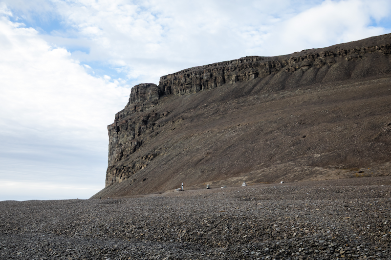
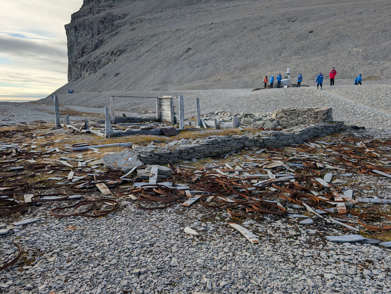
The zodiac landing dropped us below this huge rock massif at the site of a wrecked building called Northumberland House.
Northumberland House was erected in 1854, using wood salvaged from a wrecked whaling ship.
It was stocked with supplies in case any member of the Franklin expedition found their way back to the island.
|
 |
The remains of Northumberland House, with various memorial plaques and scattered debris lying around, it is the equivalent of a war grave, though on land.
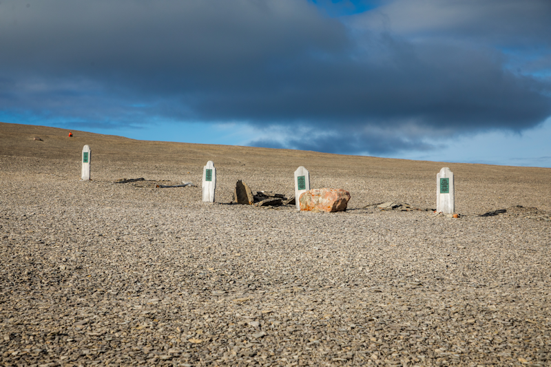
We did a walk just up from the beach to the site of four graves, of men who lost their lives on the two ships HMS Terror and HMS Erebus, which were from John Franklin's last voyage to find the Northwest Passage.
|
 |
|
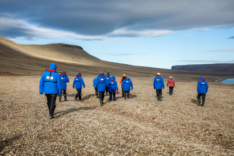
The walk, led by one of the ship's three armed polar bear guards.
|
 |
|
The graves.
|
 |
|
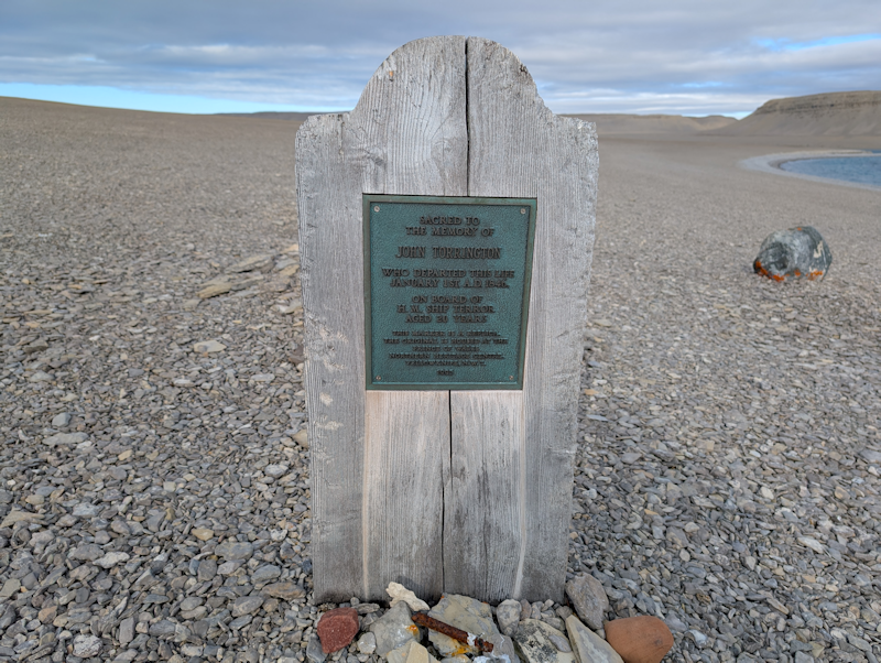
This grave marks the burial place of John Torrington on 1st January 1846 who was on HMS Terror and died aged 20 years.
|
 |
|
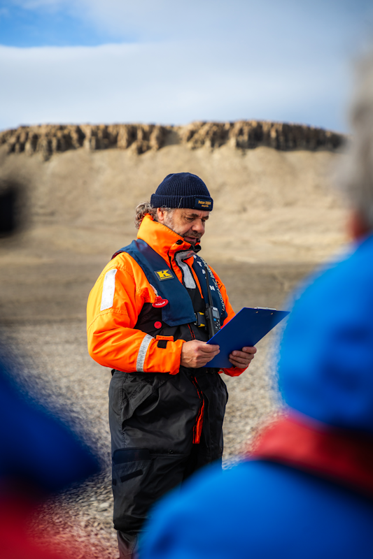
The captain Peter Rössler with the passengers on shore, reads out a message in honour of those who lost their lives during the search for the Northwest Passage.
|
 |
|
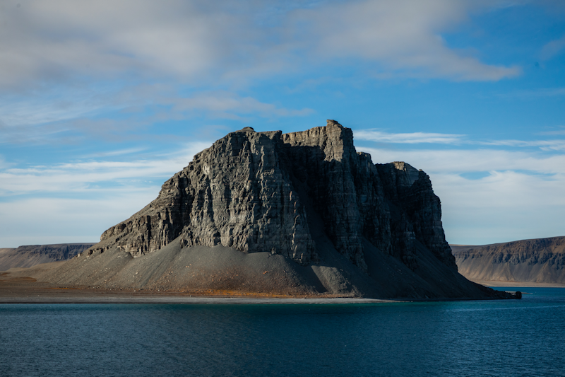
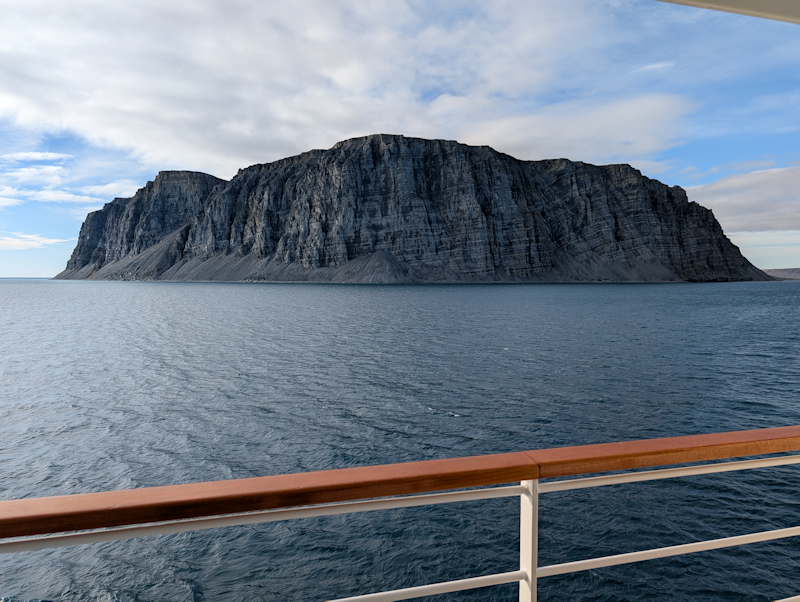
After everyone was back on the ship, we sailed around another massive rocky headland a little to the east of Beechey Island.
|
 |
|
It's a massive rock feature, it took a while to sail round it.
|
 |
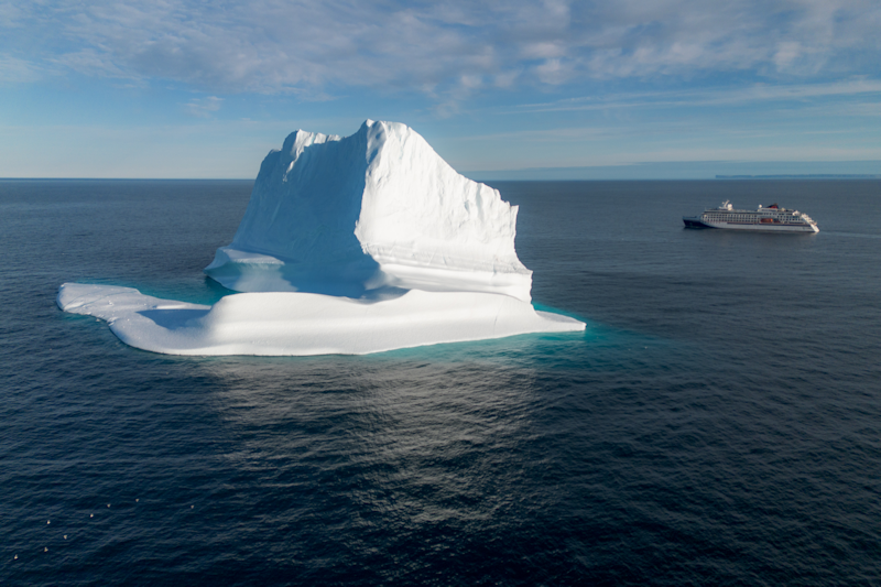
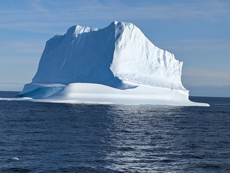
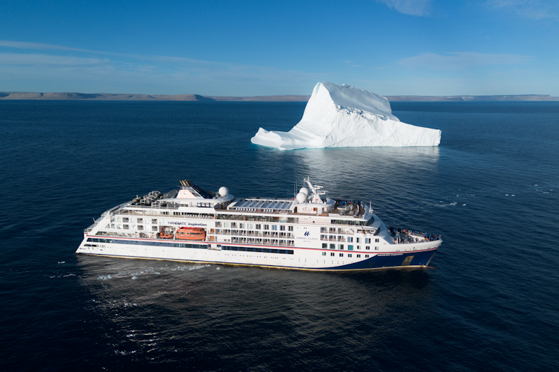
So it's goodbye to Beechey Island and not long afterwards we came to our first huge iceberg.
This is most likely one from Greenland, heading west.
The crew estimated it's height as about 80 metres.
|
 |
|
My photo. It must weigh in at over a million tons.
|
 |
|
A final view from the drone.
|
 |
Croker Bay.
Devon Island, Nunavut, Canada.
Day 25 : Sun 30th August.
Our last visit in Canadian waters was a zodiac cruise for about 90 minutes to the west side of Croker Bay.
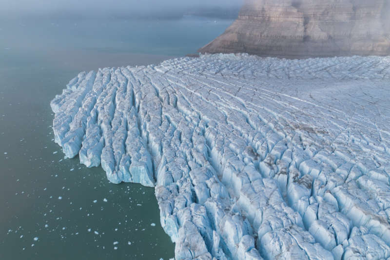
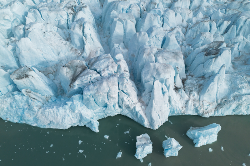
A glacier flows from the northwest into the bay where it calves icebergs.
This outer edge of the glacier was our main interest in the first part of the visit.
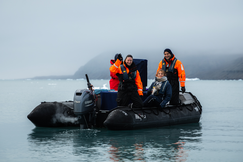
The air was cold and being outdoors here was a bit on the cool side, however, one of the zodiacs was kitted out for hot chocolate production and a cup of that was a tremendous morale boost towards the end of the glacier cruise.
Here, a fantastic drone view of the edge of the glacier.
|
 |
|
From above again, the face of the glacier which loses chunks of ice from time to time.
|
 |
|
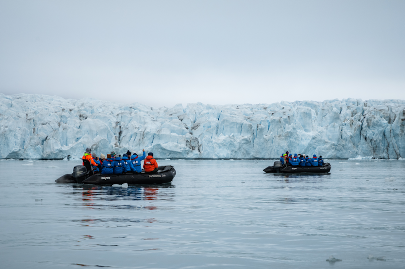
Zodiacs with up to ten passengers running near the ice face, but not too close to endanger people.
|
 |
|
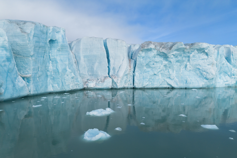
The still water surface produces an attractive relection of the ice wall.
|
 |
|
Toward the end of the zodiac ride, the refreshment boat laden with hot chocolate was an unexpected but welcome sight for us cold travellers.
|
 |
|
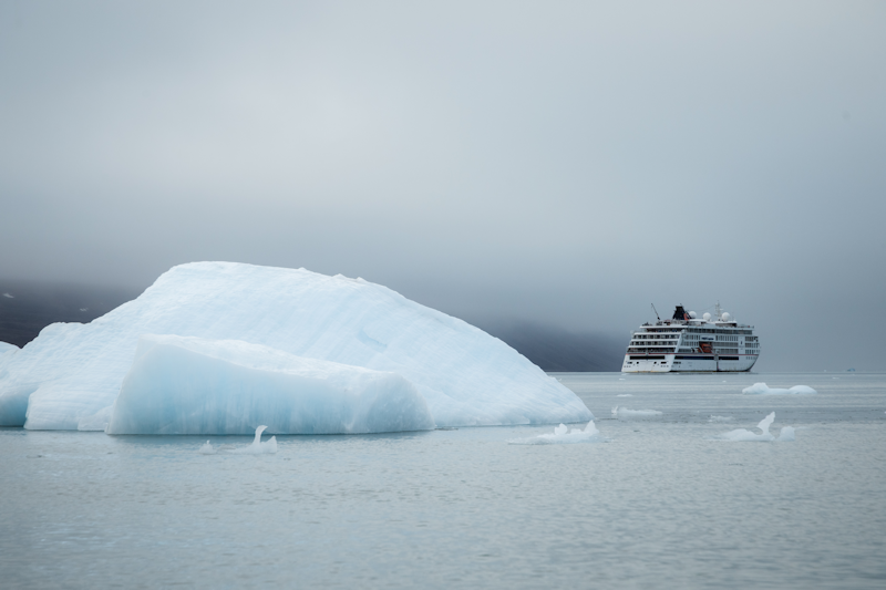
The ship was anchored out in the bay.
|
 |
|
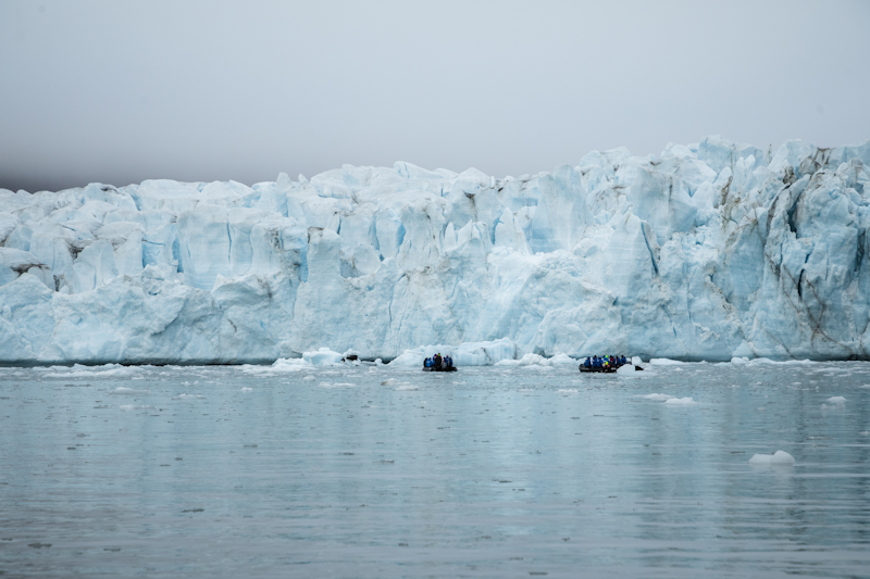
The zodiacs, as close as permitted to the glacier, give an indication of how high the ice wall was.
|
 |
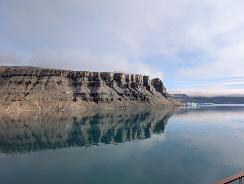
After everyone was back on board, the captain moved the ship to the eastern side of Croker Bay, where there is a static ice sheet pushing out from the land.
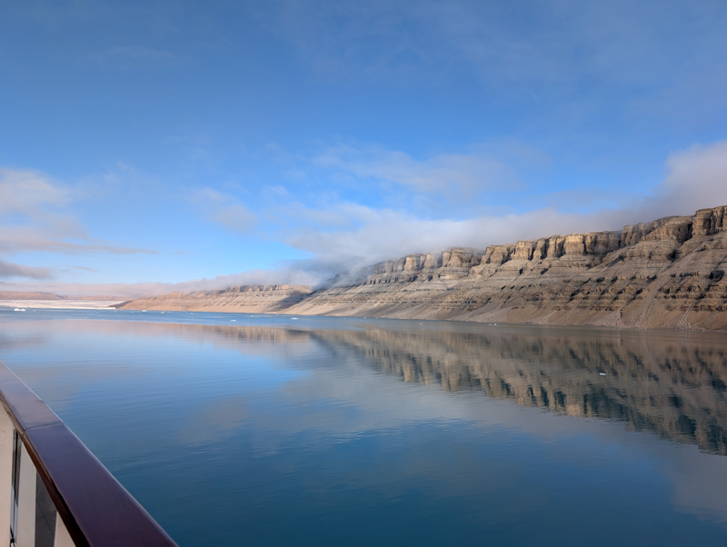
The cliff walls along the starboard side produced a spectacular land contrast to the sea and the ice.
|
 |
|
Walls of stone reflected in the calm waters of the bay.
|
 |
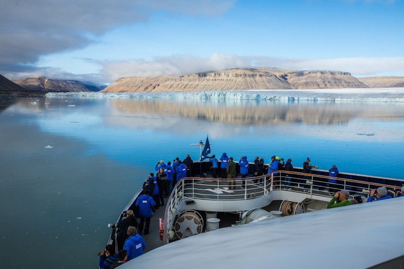
Passengers gather on the bow to take in the view of the bay to the west.
The time has come to bid farewell to Canada's remote islands and begin the 700 mile journey across Baffin Bay to Greenland!
|
 |