DAY 1 (Sunday 7th July)
Padstow to Porthcothan
16 miles
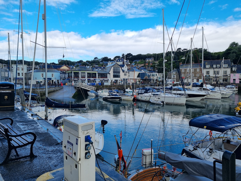
The harbour at Padstow.
|
 |
|
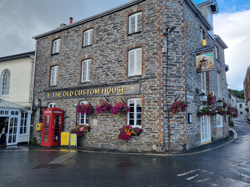
The Old Custom House, now a hotel, is where we stayed on the first night.
|
 |
|
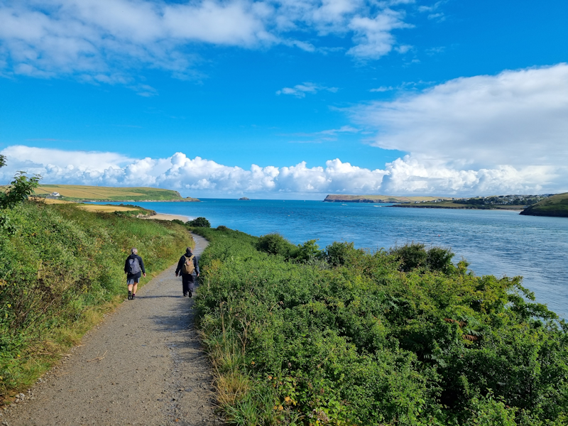
Mary and Tod lead as we head north away from Padstow along the Camel Estuary.
|
 |
|
The sandy bay which is adjacent to the famous 'Doom Bar' sandbank, after which one of Sharp's Brewery's beers is named.
|
 |
|
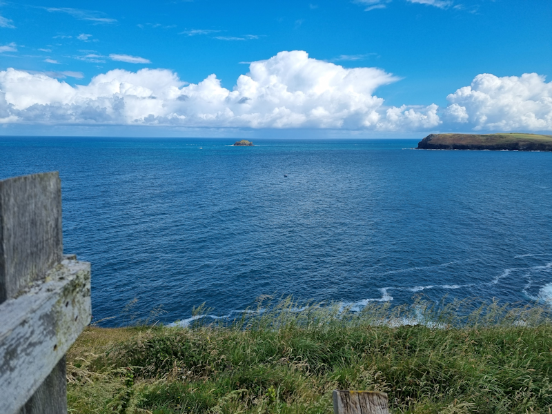
The tiny island of Newland north of Padstow Bay.
|
 |
|
Tod at the lookout tower on the headland as we head east.
|
 |
|
Harlyn Bay.
|
 |
|
Mother Ivey's Bay, with the lifeboat station on the far side.
|
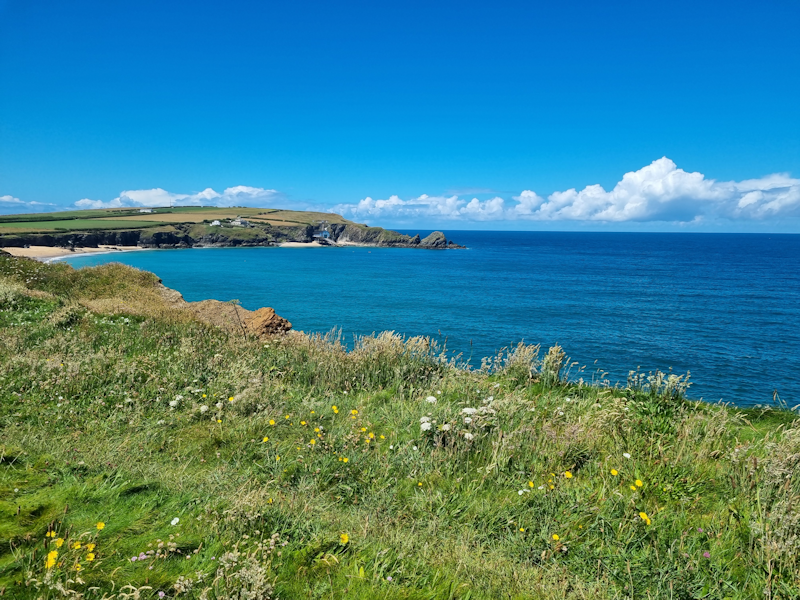 |
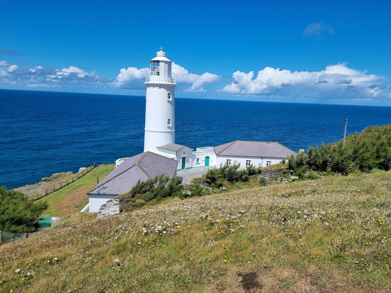
The lighthouse at Trevose Head.
From this point we head south down the coast towards Newquay.
|
 |
|
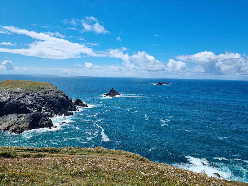
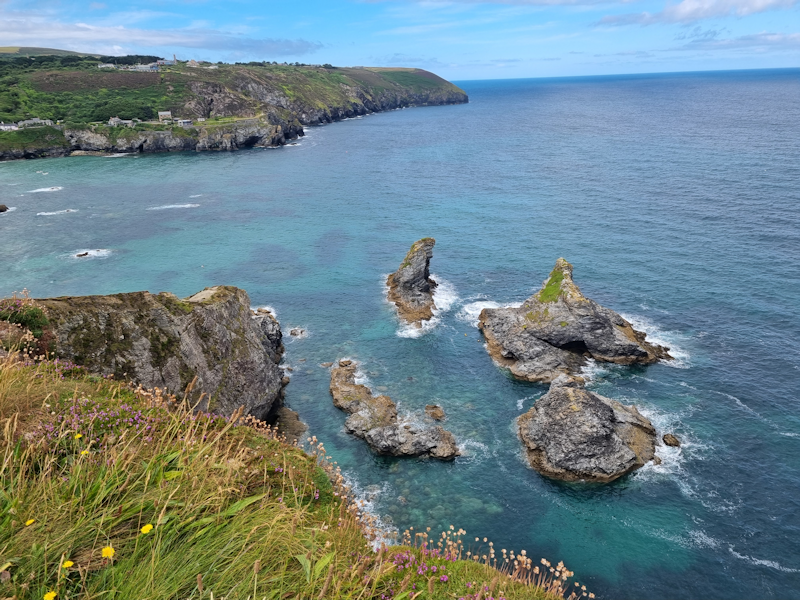
A string of rocky islets off Dinas Head.
|
 |
|
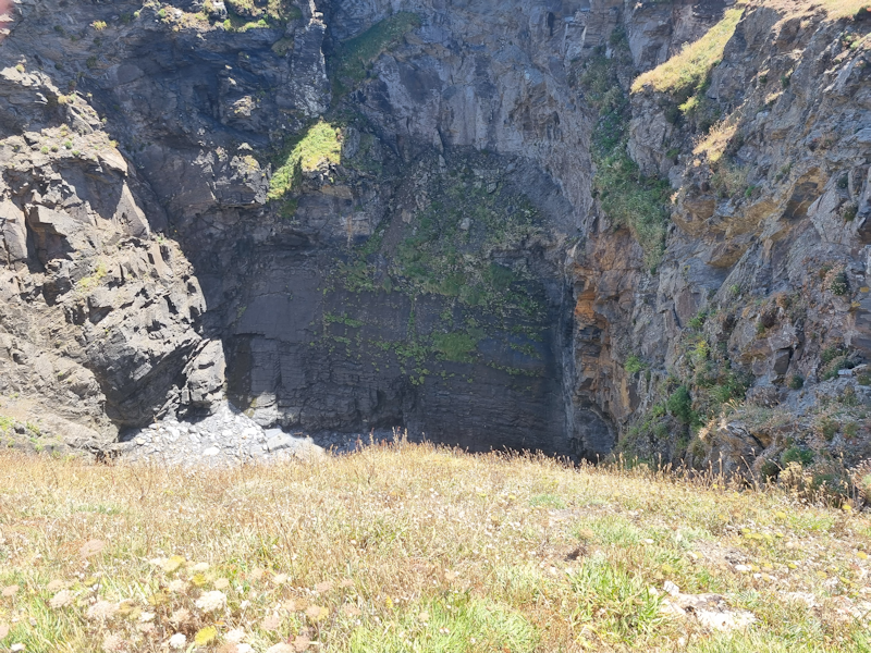
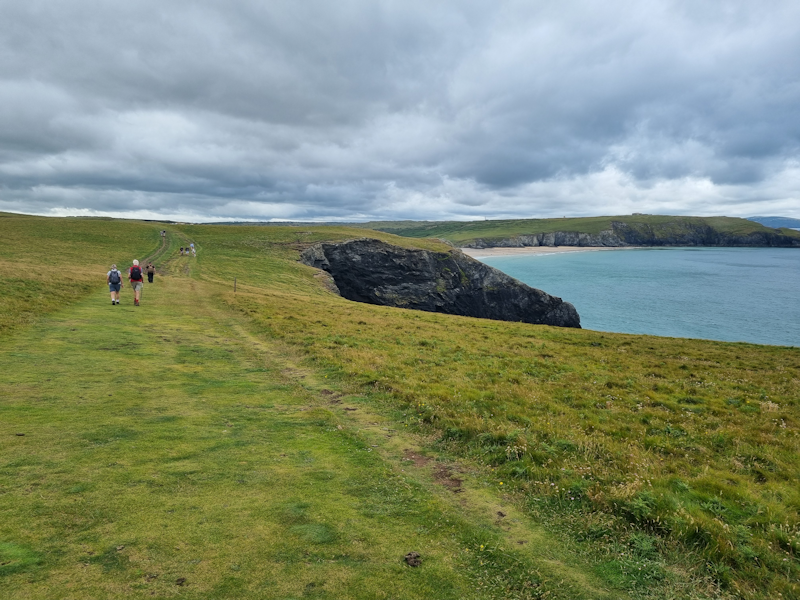
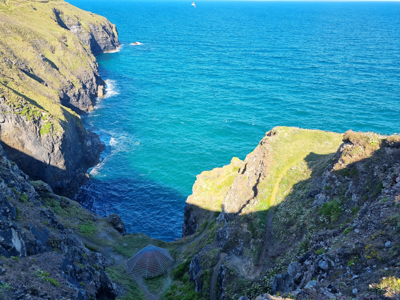
This huge hole (Round Hole) behind the cliff is a sort of sink hole caused by erosion of the sea.
|
 |
|
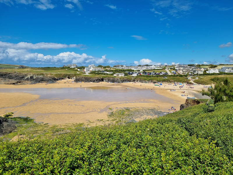
Treyarnon Bay, about 2km north of Porthcothan, where Tod and I stopped for a coffee.
|
 |
DAY 2 (Monday 8th July)
Porthcothan to Newquay
12 miles
Heading south out of Porthcothan.
|
 |
|
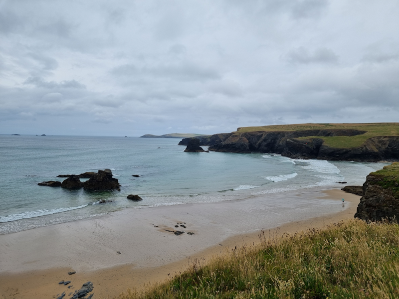
There are several sandy bays down this section of the coast - yellow sands but dark rocks.
|
 |
On the cliff tops, heather is coming into bloom at this location.
|
 |
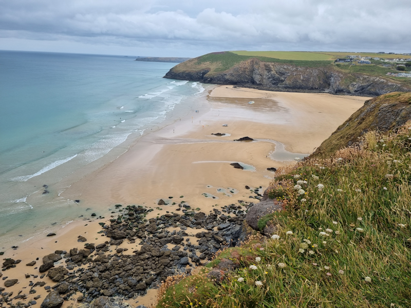
At Mawgan Porth Tod and I stopped for a coffee and cake, before continuing south towards the airport.
|
 |
Another view of Mawgan Porth beach.
|
 |
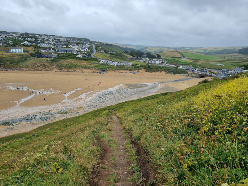
The 2km long Watergate Beach.
About a mile inland from here is Cornwall's airport, northeast of Newquay.
We saw several aircraft crossing the coast around here on the final approach to the runway.
|
 |
DAY 3 (Tuesday 9th July)
Newquay to Perranporth.
14 miles
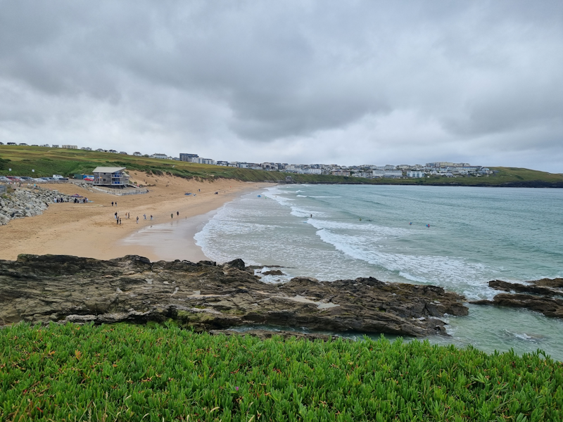
Early on Tuesday we arrive at Fistral Beach, facing the Atlantic, just west of Newquay.
This apparently is the definitive home of British surfing.
|
 |
At Pentire we crossed the river called The Gannel on a ferry (actually a small boat with an outboard motor piloted by a friendly bloke).
After this the route got a bit messy as we headed across a series of sand dunes.
|
 |
Back up on higher and firmer ground, with Mary and John.
|
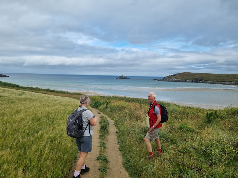 |
Tod pushes on ahead, closely followed by John and Mary as we head southwest towards Holywell Bay and its beach.
|
 |
Gull Rocks off Penhale Point.
|
 |
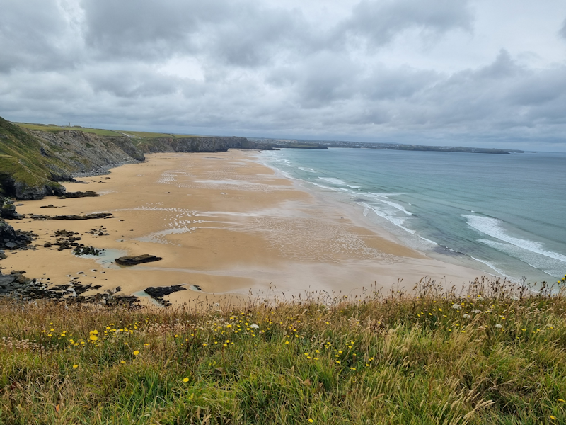
Tod and I arrive at the huge Perran Beach, which we walked along for over 2 miles.
By this stage my feet (especially the blisters) were hurting and I was running on empty.
When we finally got to Perranporth, Mary and John were waiting with the car at the pub where we would stay overnight.
|
 |
DAY 4 (Wednesday 10th July)
Perranporth to St Agnes.
6 miles
After climbing out of the town and up to the cliffs again, we came to signs of the old tin mining industrial past.
A disused mine shaft here is blocked off with steel bars.
|
 |
There are more disused mining features as we head on along the cliffs adjacent to Perranporth Airfield.
|
 |
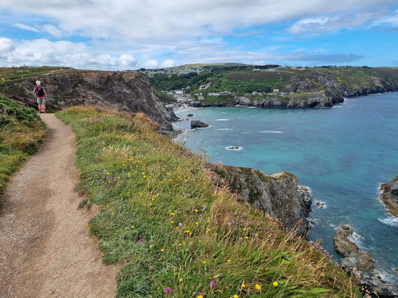
Approaching the rugged coast near to St Agnes.
Given that my feet were in poor shape, I finished my days walk in the latter village along with M & J.
We bought some food at the bakery there before catching a bus back to Perranporth.
Tod continued alone along the coast path to reach Portreath later in the afternoon.
We stayed in a pub in this village.
|
 |
|
Approaching Trevaunance Cove.
|
 |
|
St Agnes, or rather, the very northern outskirts of it.
|
 |
DAY 5 (Thursday 11th July)
Staying in Hayle, but having a day just pootling about in St Ives.
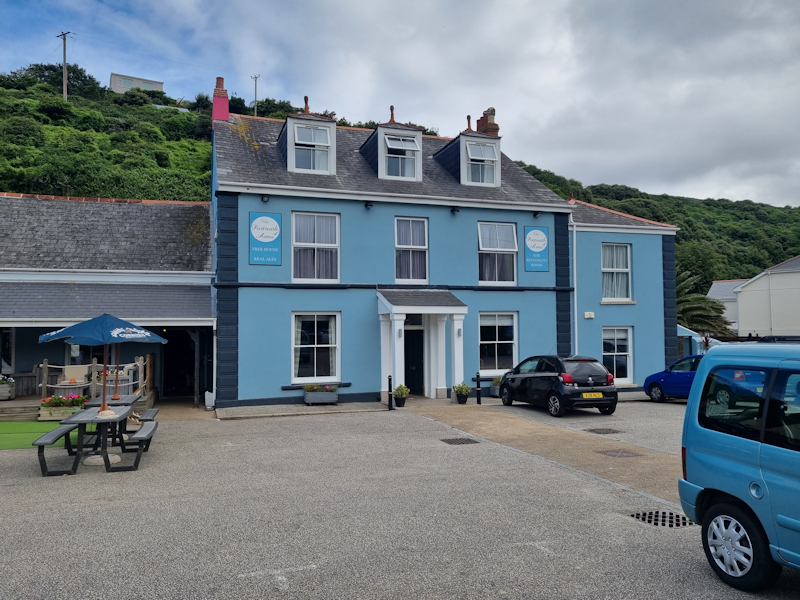
This was the Portreath Arms, where we stayed overnight.
There was the Euros football match between England and Holland, which we watched from one of our rooms.
A brilliant end to the match with England reaching the final by scoring in injury time to win 2-1.
|
 |
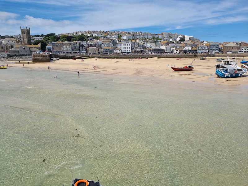
St Ives, from one of the piers.
While we took it easy in the crowded streets here, Tod was busily walking from Portreath to Hayle.
|
 |
|
Another view of the harbour area under warm July sunshine.
|
 |
DAY 6 (Friday 12th July)
Hayle to St Ives.
7 miles
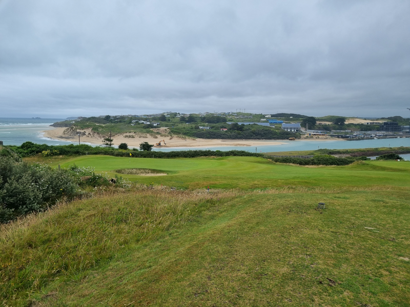
A view across the Hayle Estuary.
Today's short walk was mainly through built-up areas or along busy roads, not the best of the walking days.
|
 |
|
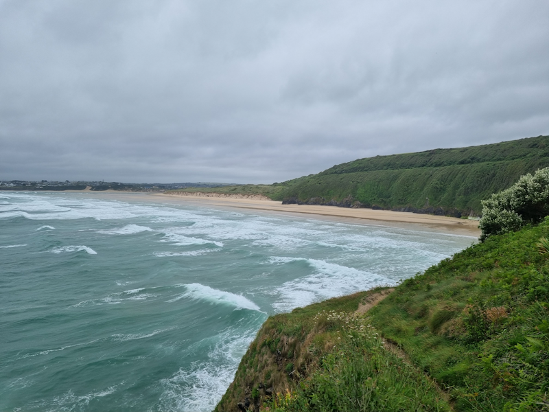
Atlantic waves coming north to south to Carbis Bay.
|
 |
We were following the railway branch line for a while, along the top of the high ground coming in to St Ives, the end of our journey.
|
 |