Saturday 4th May
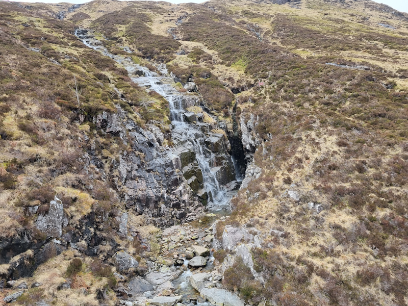
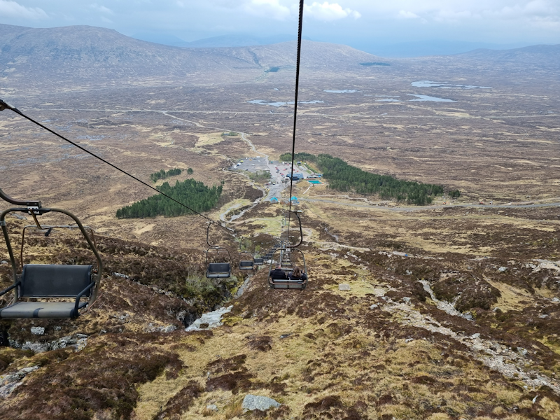
I arrived in the north of Scotland around lunch time, so decided to drive off the A82 to the Glencoe ski resort and Chairlift.
I got my ticket and went up the chairlift to the top where I walked around a bit before coming back down.
This image taken from my chair on the upward climb was a stream and waterfall coming down the slope.
Sunday 5th May
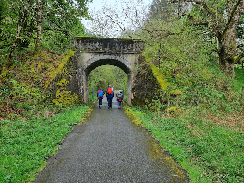
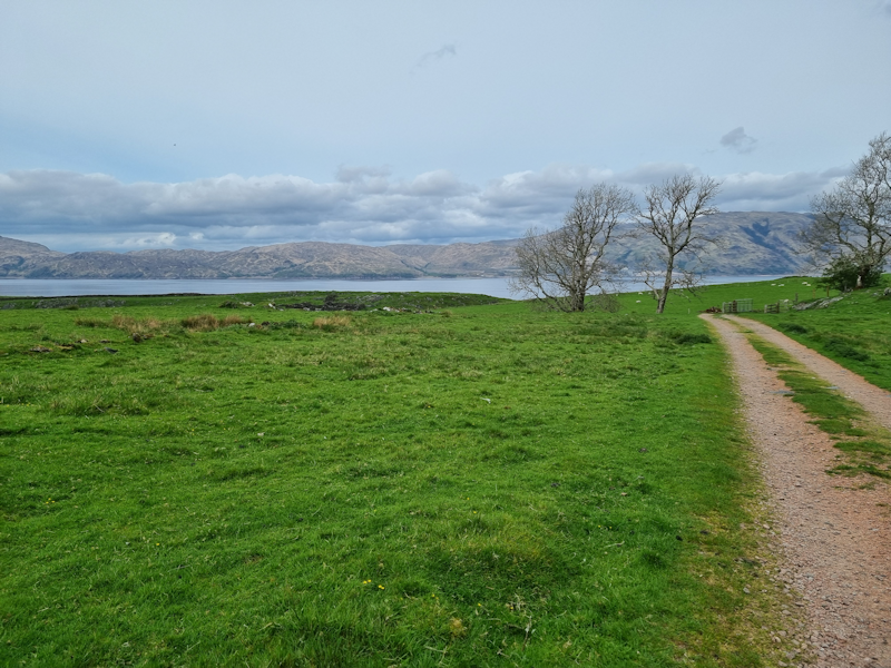
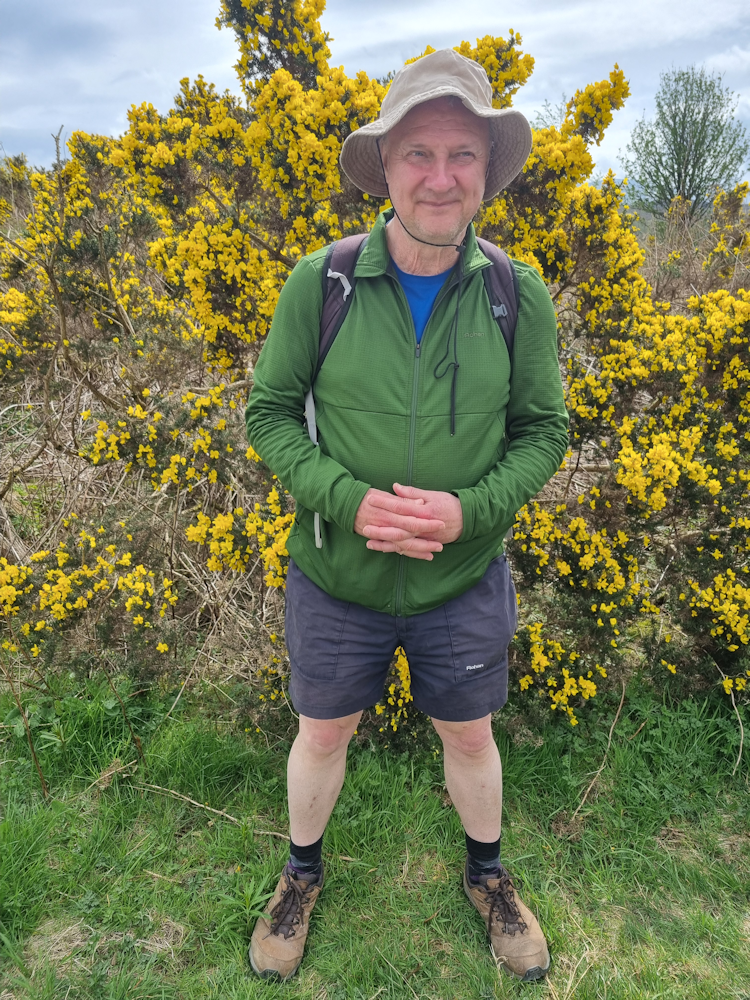
The sole photo I took today, where Joe led an 8 mile walk from the village of Duror, up the coastal strip and along to the end of the peninsula at Rubha Mor.
We then completed the clockwise loop back down to where our cars were parked.
Altogether I did 10 miles of walking on the day.
The weather was a bit dull but mainly dry.
Monday 6th May
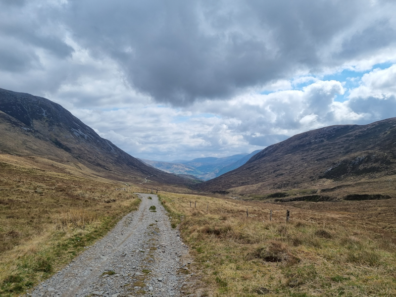
Today's walk was a stretch of the West Highland Way starting in the village of Kinlochleven, which lies at the eastern end of Loch Leven.
I decided to just do about 4 miles out and back on the same route.
In this image KInlochleven is down below.
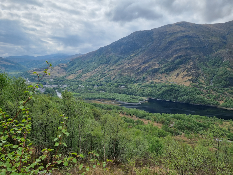
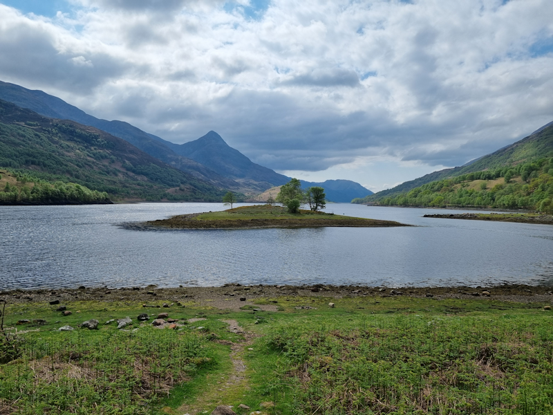
I then turned back to retrace my steps to Kinlochleven, while the other 4 walkers with me continued to add on a couple of miles.
The weather was dry and warm.
This was a small island in the loch.
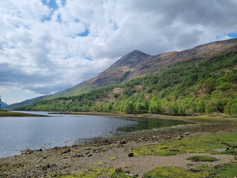
Tuesday 7th May
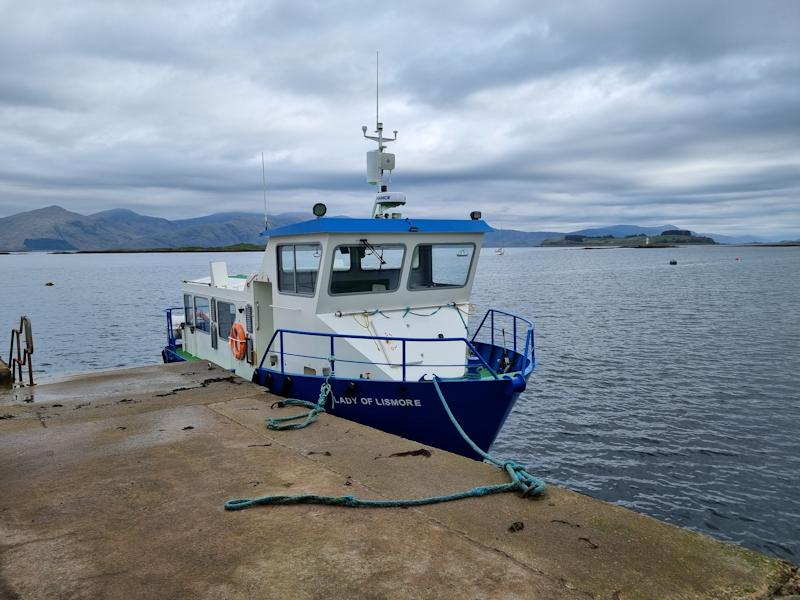
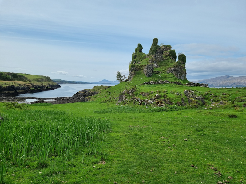
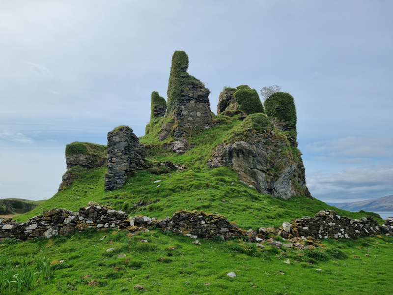
Tuesday's walk was a very pleasant ramble around Lismore Island, which I last visited in 2008.
A number of us took the small ferry (shown here) across the water from Port Appin.
Joe led a few of us on a route following the road southwest, stopping for a coffee and visit to a small museum and shop, before crossing the island on a high route and following the north coast and back to the ferry jetty.
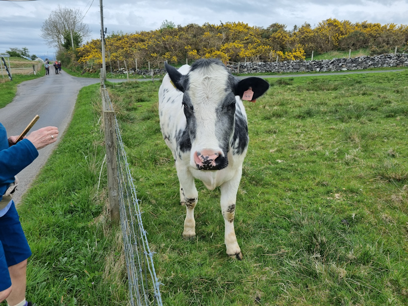
This one was very tame and enjoyed a good scratch behind the ears.
We stopped for lunch nearby.
The weather was very pleasant, warm and dry.
Some of us returned on thre ferry to Port Appin for a cup of tea at the hotel near the jetty, whilst the longer walk group took the next ferry an hour later.

Wednesday 8th May
A completely different kind of walk today.
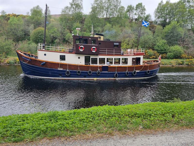
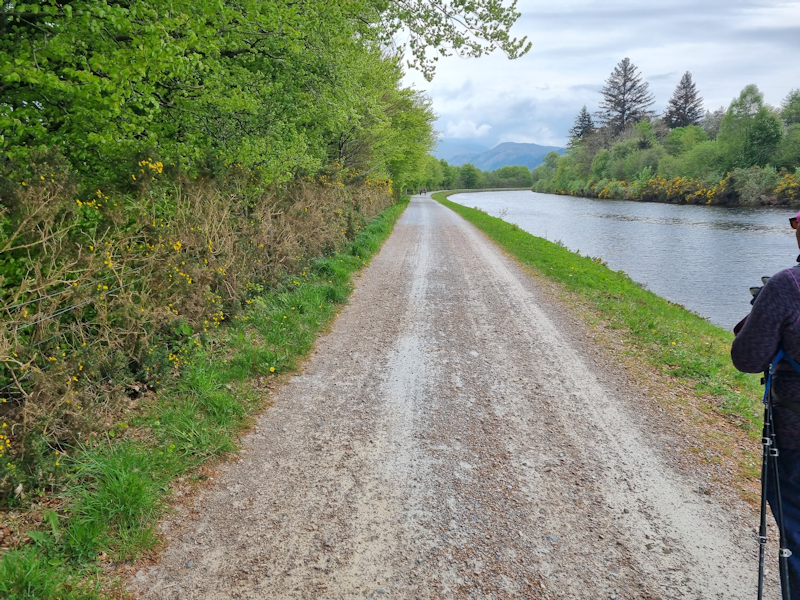
Starting at Neptune's Staircase, north of Fort William, a few of us walked northeast along the right bank of the Caledonian Canal.
There were a few boats on the canal, including this one.

In fact, upon our return in the afternoon, a large tourist ship arrived at the series of locks, of a size that almost filled the water between the lock gates.
Today's distance I covered was about 10 miles in total.
Thursday 9th May
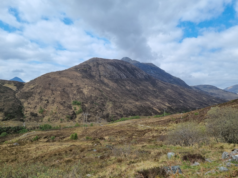
The toughest walk for me was today.
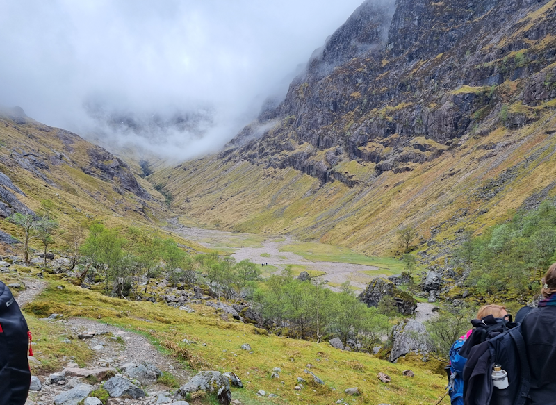
Part One was a walk along part of the A82, alongside Loch Achtriochtan and then turning off down across the River Coe and upwards to Coire Gabhail and the Hidden Valley.
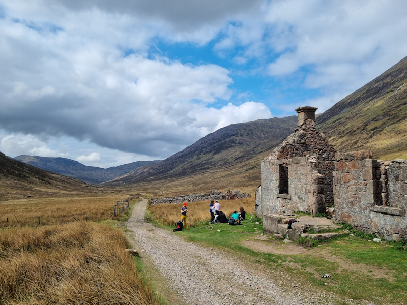
Afterwards, Ian led a walk near Glencoe village around the small Lochan to the north.
All this added up to 12 miles of walking for me.
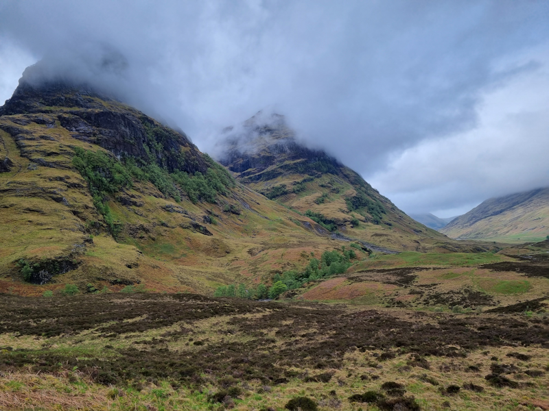
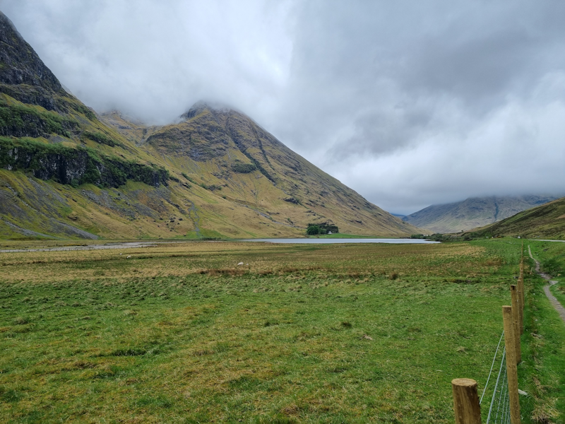
These are some of the 'Three Sisters', viewed from Loch Achtriochtan, which runs alongside the A82.

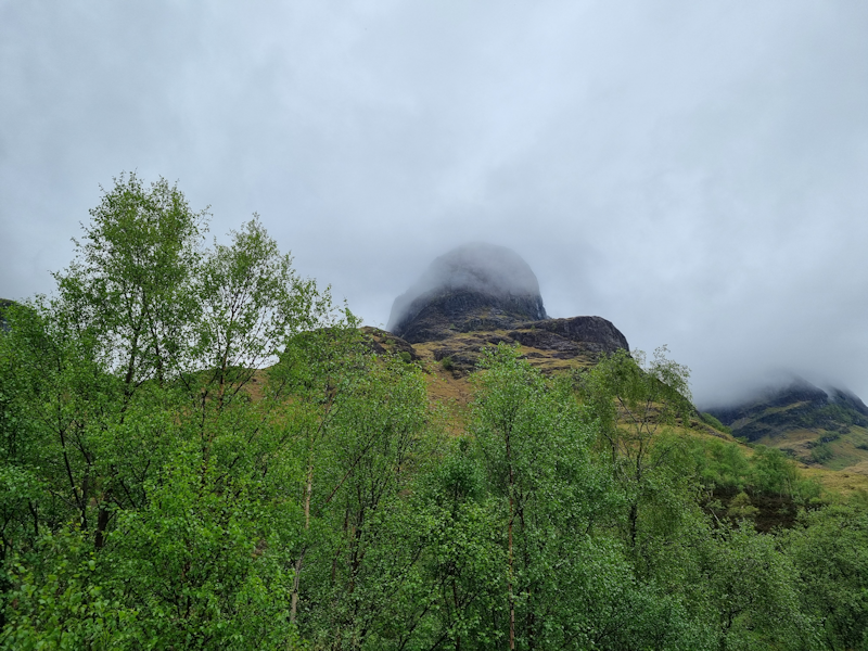
Our walk around the Lochan above Glencoe village.
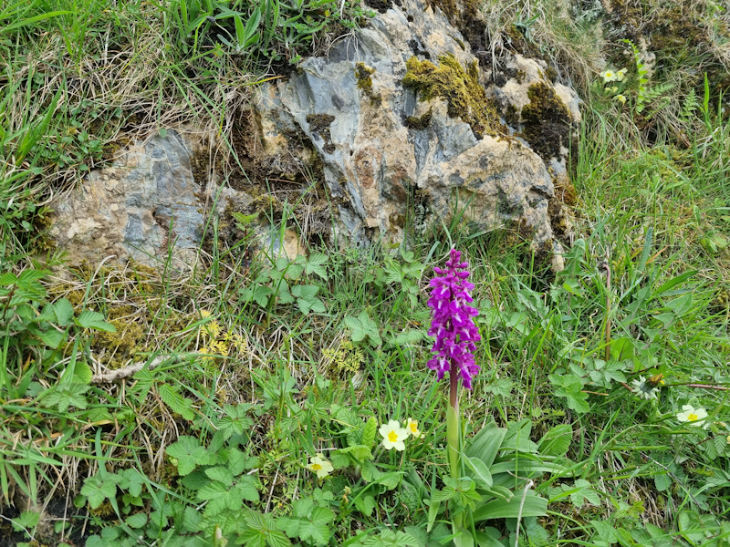
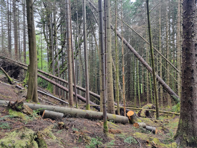
There were a number of trails around and about for tourists.


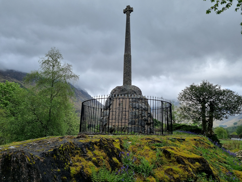
A brief description, courtesy of Wikiaedia.
The Massacre of Glencoe took place on 13 February 1692.
An estimated 38 members and associates of Clan MacDonald of Glencoe were killed by Scottish government forces, allegedly for failing to pledge allegiance to the new monarchs, William III and Mary II.
This was despite the hospitality offered to the soldiers by the people they would later murder.
A further forty women and children died of exposure after their homes were burned.
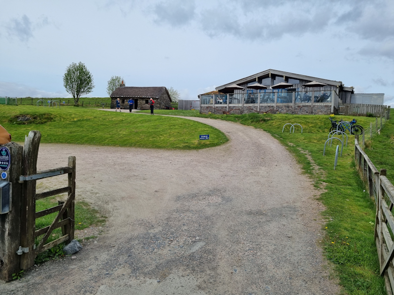
Friday 10th May
I made the decision to do my own thing on this last day of the holiday.
I drove to the Glen Coe visitor's centre, had a coffee and did a walk on paths around the centre.
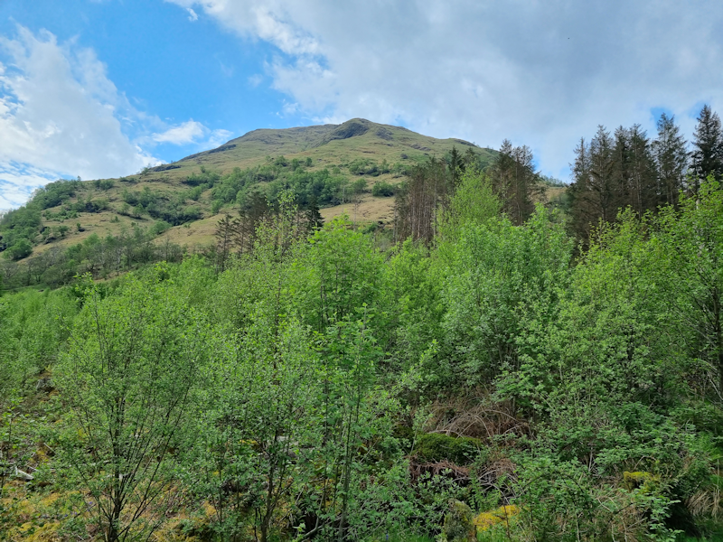
1. A nearby mountain seen from the Visitor's Centre.
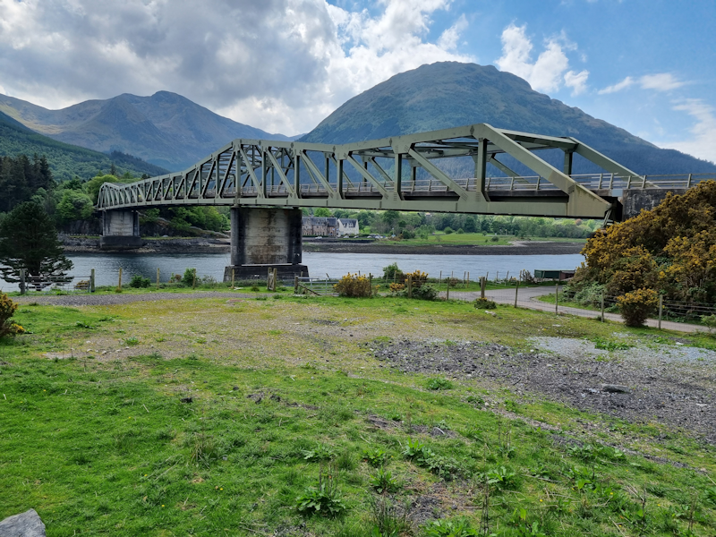
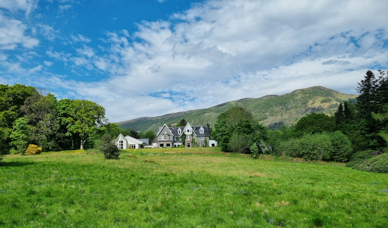
The very attractive steel truss bridge which spans Loch Leven is a short distance from Alltshellach.